“Writing in a journal each day allows you to direct your focus to what you accomplished, what you’re grateful for and what you’re committed to doing better tomorrow.” -Hal Elrod
Day 31 ~ Distance: 35km, Climb: 930m, Cumulative: 841km
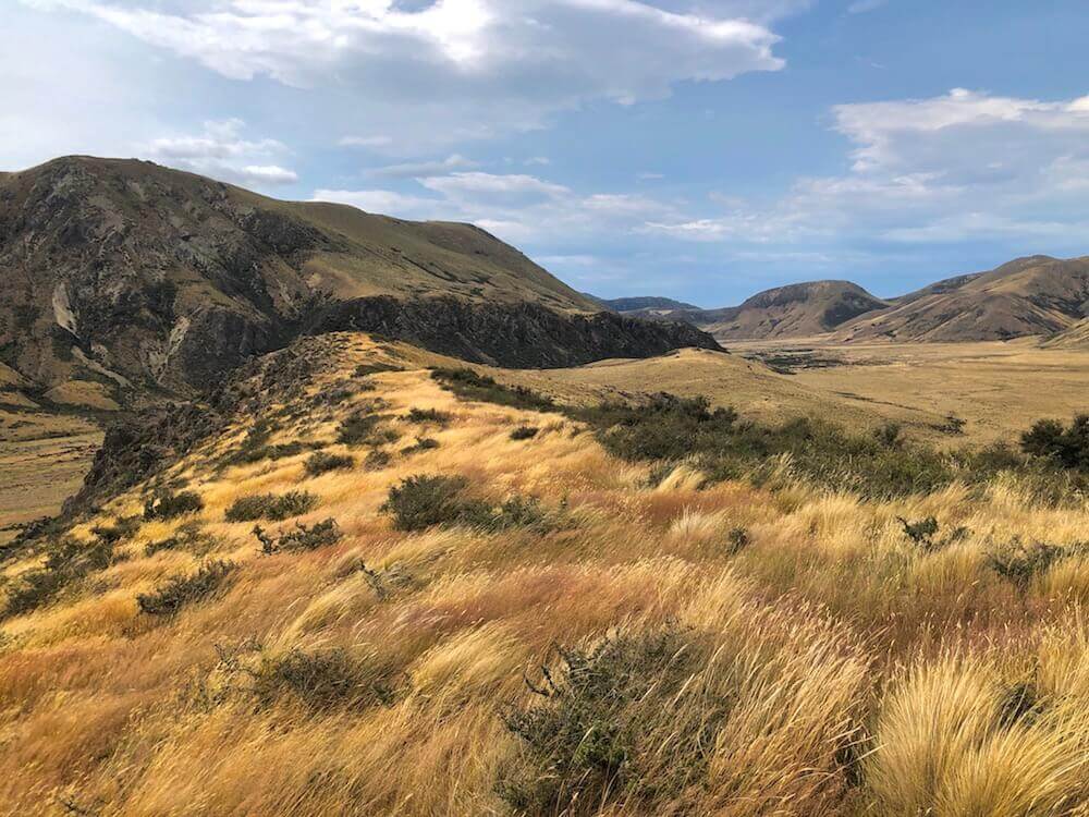
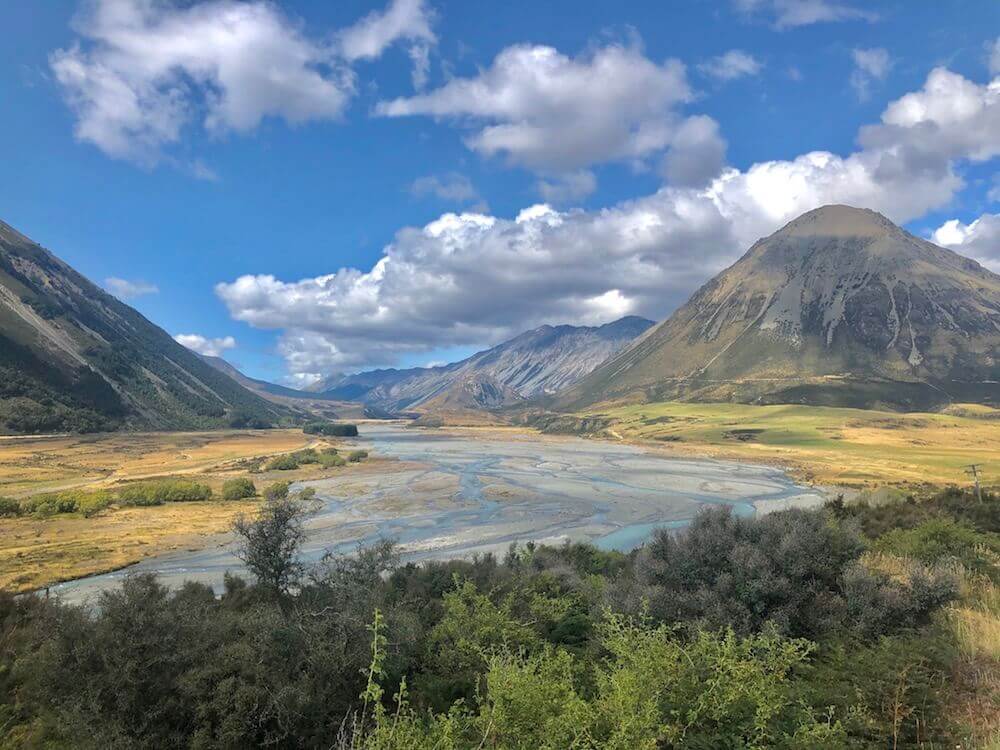
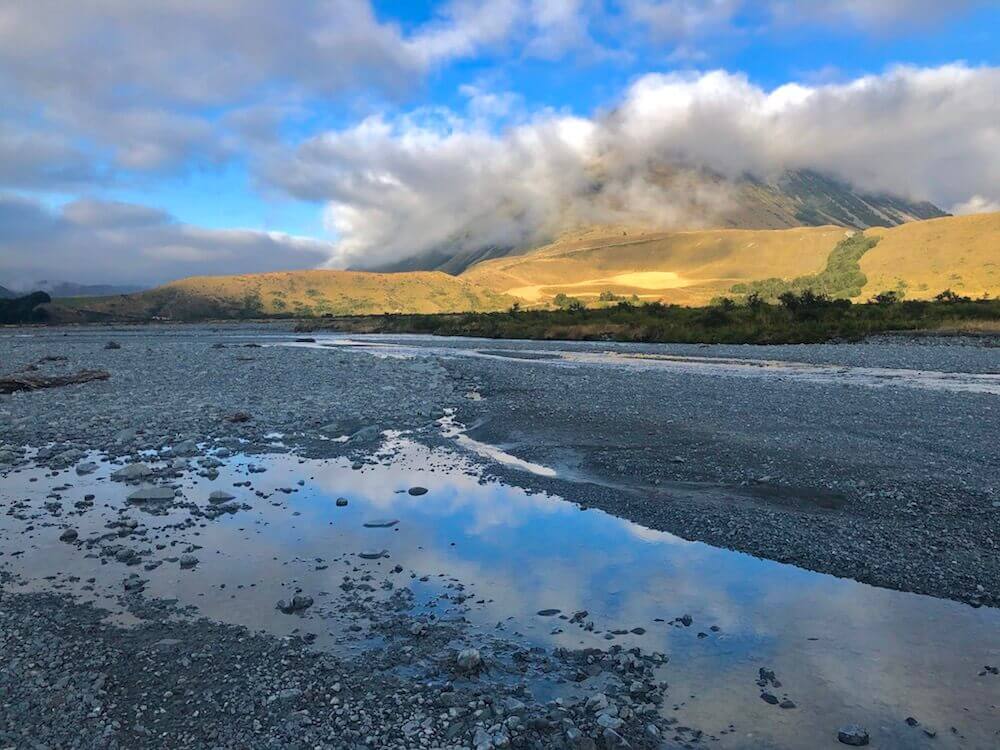
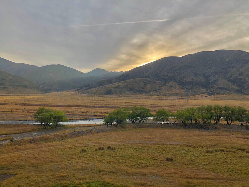
The wind here in New Zealand is so inconsistent in its direction. You will literally have 2 wind gust following one another coming from opposite directions. Because of that our night was quite windy once more. We haven’t had trees around for a while now, no big rocks either, a trench is the best we can hope for in spots and with unpredictable wind direction it is quite hard to find proper cover (now I understand why there are so many huts). Today we had strong wind all day and almost the entire day we hiked against it. Having wind gusts blowing us off balance. We saw lots of people on the trail, it was unexpected because some people skip this section in between rivers. We have once more an expose site for the night. Let’s hope the wind direction with spare us a bit.
The wind here in New Zealand is so inconsistent in its direction. You will literally have 2 wind gust following one another coming from opposite directions. Because of that our night was quite windy once more. We haven’t had trees around for a while now, no big rocks either, a trench is the best we can hope for in spots and with unpredictable wind direction it is quite hard to find proper cover (now I understand why there are so many huts). Today we had strong wind all day and almost the entire day we hiked against it. Having wind gusts blowing us off balance. We saw lots of people on the trail, it was unexpected because some people skip this section in between rivers. We have once more an expose site for the night. Let’s hope the wind direction with spare us a bit.
Day 32 ~ Distance: 15km, Climb: 280m, Cumulative: 856km
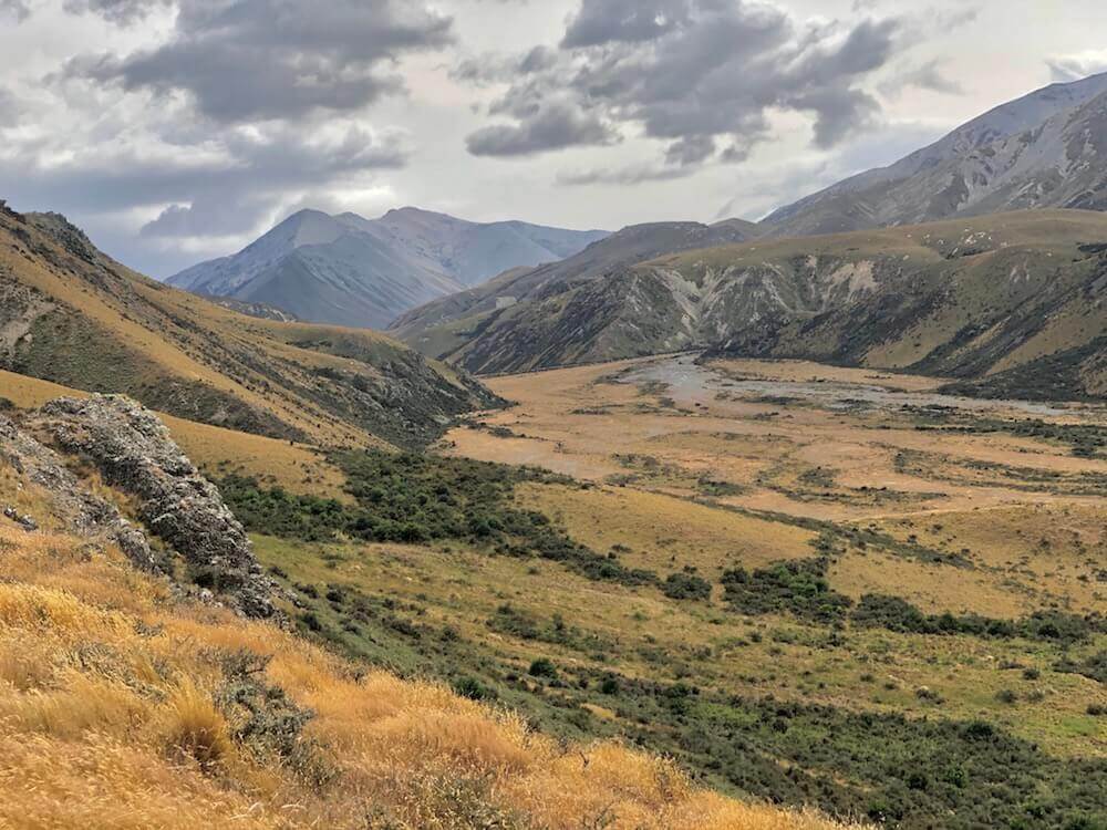
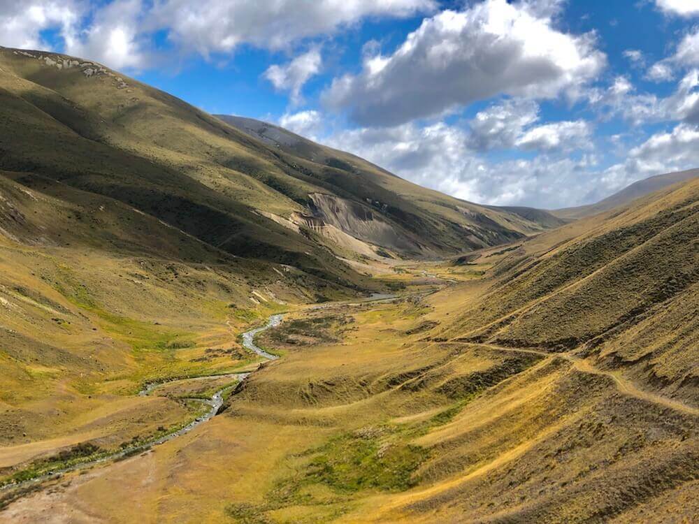
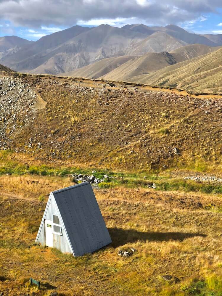
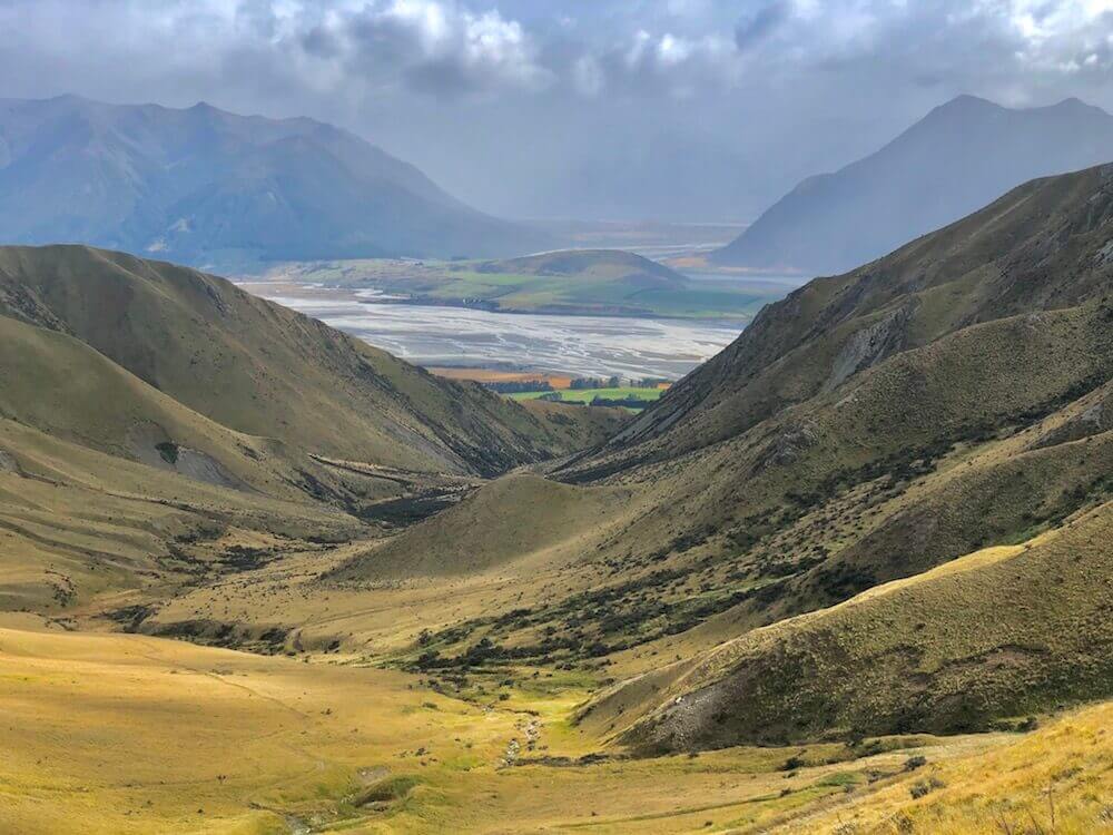
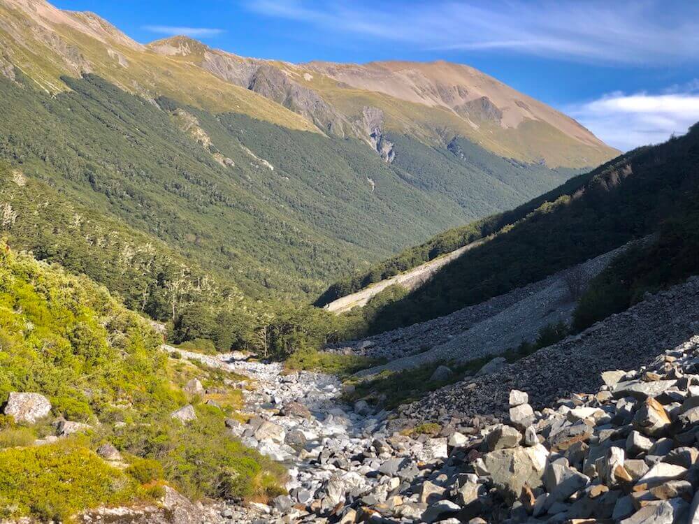
It was a windy night, but the least windy we had in the last few days. The day was windier, we descended a valley where we crossed multiple time the same creek. At a hut, we enjoyed lunch inside it to have a little break from the wind. Then pushed on to the next and last hut of that section. At this point, it is only 9km to the road where we are getting picked up by a shuttle tomorrow. We decided to spend the night in the hut since we will have all morning tomorrow to make it to the car park. It was a lovely A frame hut named: A Frame Hut. Besides the lack of inspiration for the name, it is a small and cozy 3 bunk beds hut. We ended up sharing it with an older (60’s) lady from Australia, a retired farmer. We talked with her for a few hours.
It was a windy night, but the least windy we had in the last few days. The day was windier, we descended a valley where we crossed multiple time the same creek. At a hut, we enjoyed lunch inside it to have a little break from the wind. Then pushed on to the next and last hut of that section. At this point, it is only 9km to the road where we are getting picked up by a shuttle tomorrow. We decided to spend the night in the hut since we will have all morning tomorrow to make it to the car park. It was a lovely A frame hut named: A Frame Hut. Besides the lack of inspiration for the name, it is a small and cozy 3 bunk beds hut. We ended up sharing it with an older (60’s) lady from Australia, a retired farmer. We talked with her for a few hours.
Day 33 ~ Distance: 10km, Climb: 170m, Cumulative: 866km
It was the right decision to stay in the hut. The wind blew all night so strongly that the hut itself was shaking. By 9am we got moving, shortly before noon we arrived at the road where we were getting picked up by the shuttle to go to Methven. While waiting we took cover under big pine trees as the rain rolled in. Once in town, we spent the night in a campground to finalize our preparation for the longest section without food (172km). Most hikers send food boxes to some of the places, but we are doing it without boxes, which means lots of food carrying and lots of shopping.
It was the right decision to stay in the hut. The wind blew all night so strongly that the hut itself was shaking. By 9am we got moving, shortly before noon we arrived at the road where we were getting picked up by the shuttle to go to Methven. While waiting we took cover under big pine trees as the rain rolled in. Once in town, we spent the night in a campground to finalize our preparation for the longest section without food (172km). Most hikers send food boxes to some of the places, but we are doing it without boxes, which means lots of food carrying and lots of shopping.
Day 34 ~ Distance: 0km, Climb: 0m, Cumulative: 866km
We took a rest day in Methven. We really enjoyed the campground there they had a pool table, a ping-pong table, dart, all kinds of fun things to play. We enjoyed nice food, and basically chilled all day. Except for the hard work of blogging 😉.
We took a rest day in Methven. We really enjoyed the campground there they had a pool table, a ping-pong table, dart, all kinds of fun things to play. We enjoyed nice food, and basically chilled all day. Except for the hard work of blogging 😉.
Day 35 ~ Distance: 33km, Climb: 300m, Cumulative: 899km
We found out that the campground offered a shuttle to the trailhead which we took. By 9am we were starting to hike on the other sides of the Rakaia River. We stayed on a gravel road most of the day. The road was busier than we expected. Lake Coleridge was of a beautiful azure blue. We found a nice sheltered spot. It is nice not to worry about wind for once.
We found out that the campground offered a shuttle to the trailhead which we took. By 9am we were starting to hike on the other sides of the Rakaia River. We stayed on a gravel road most of the day. The road was busier than we expected. Lake Coleridge was of a beautiful azure blue. We found a nice sheltered spot. It is nice not to worry about wind for once.
Day 36 ~ Distance: 34km, Climb: 700m, Cumulative: 933km
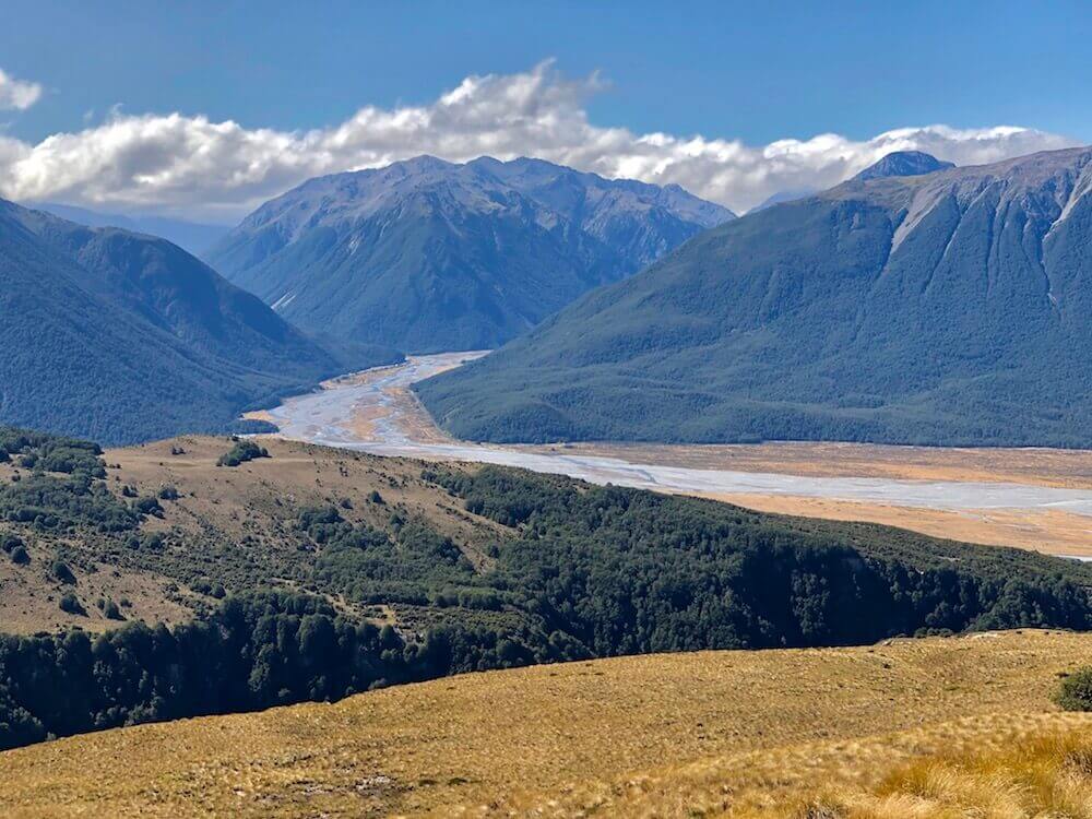
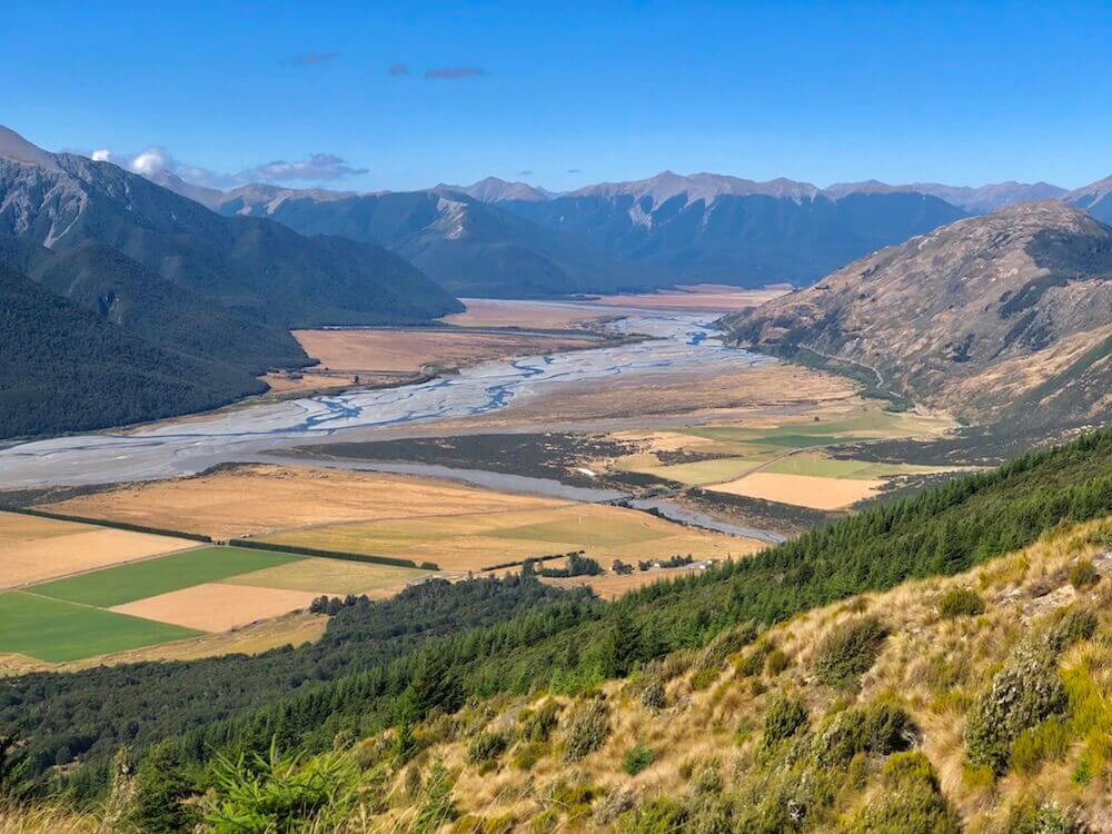
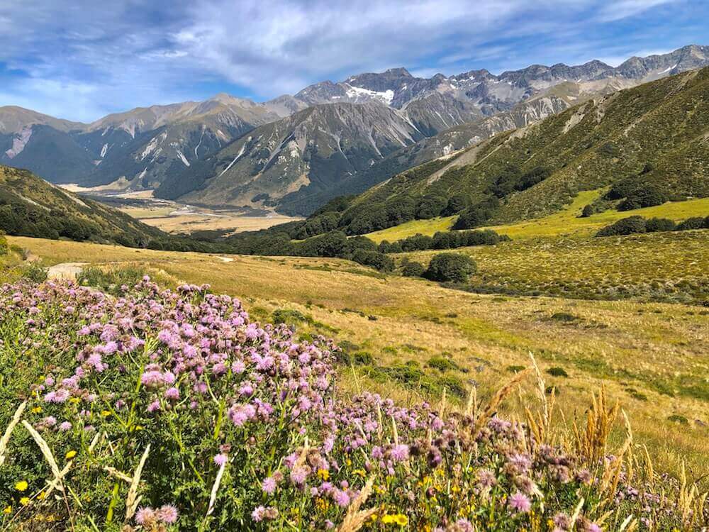
We left our lovely campsite by 6:30am. We followed the Harper River upstream all the way to where it starts. We had the scenic Arthur Pass Range waiting for us once we went over the pass. After making it down to a highway, we walked along the road for a bit before following a creek to find a campsite.
We left our lovely campsite by 6:30am. We followed the Harper River upstream all the way to where it starts. We had the scenic Arthur Pass Range waiting for us once we went over the pass. After making it down to a highway, we walked along the road for a bit before following a creek to find a campsite.
Day 37 ~ Distance: 26km, Climb: 500m, Cumulative: 959km
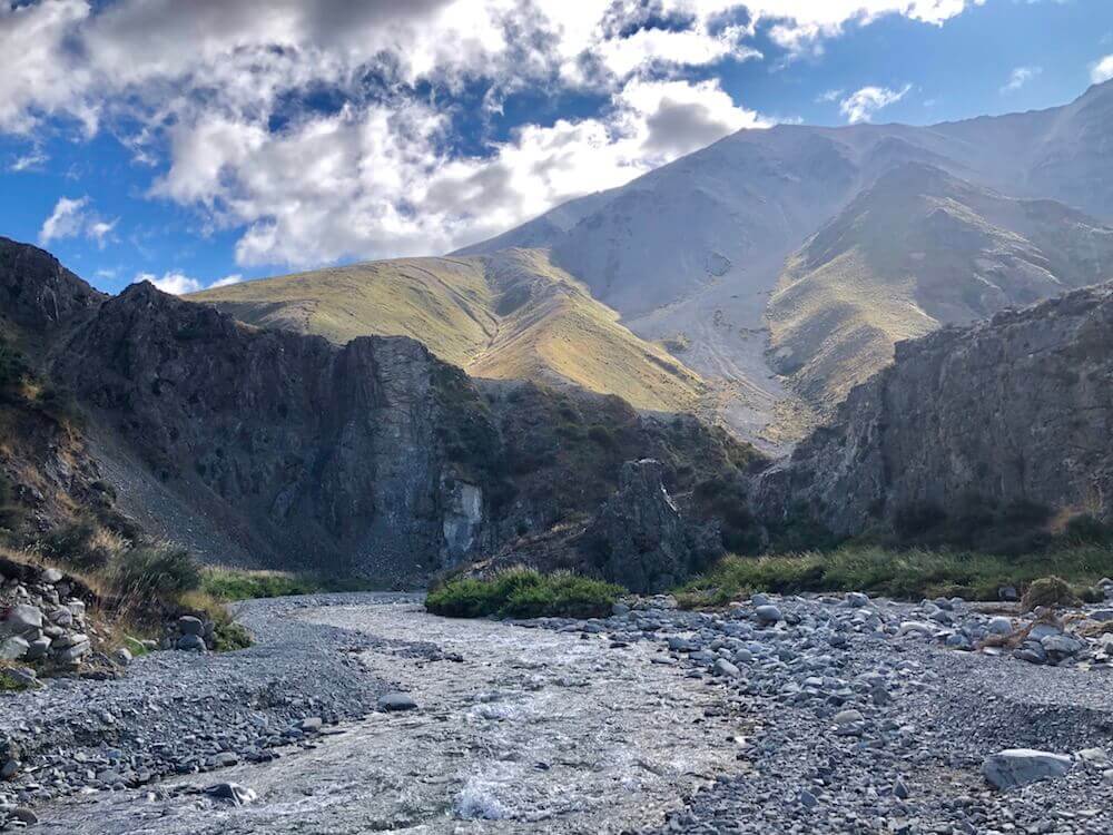
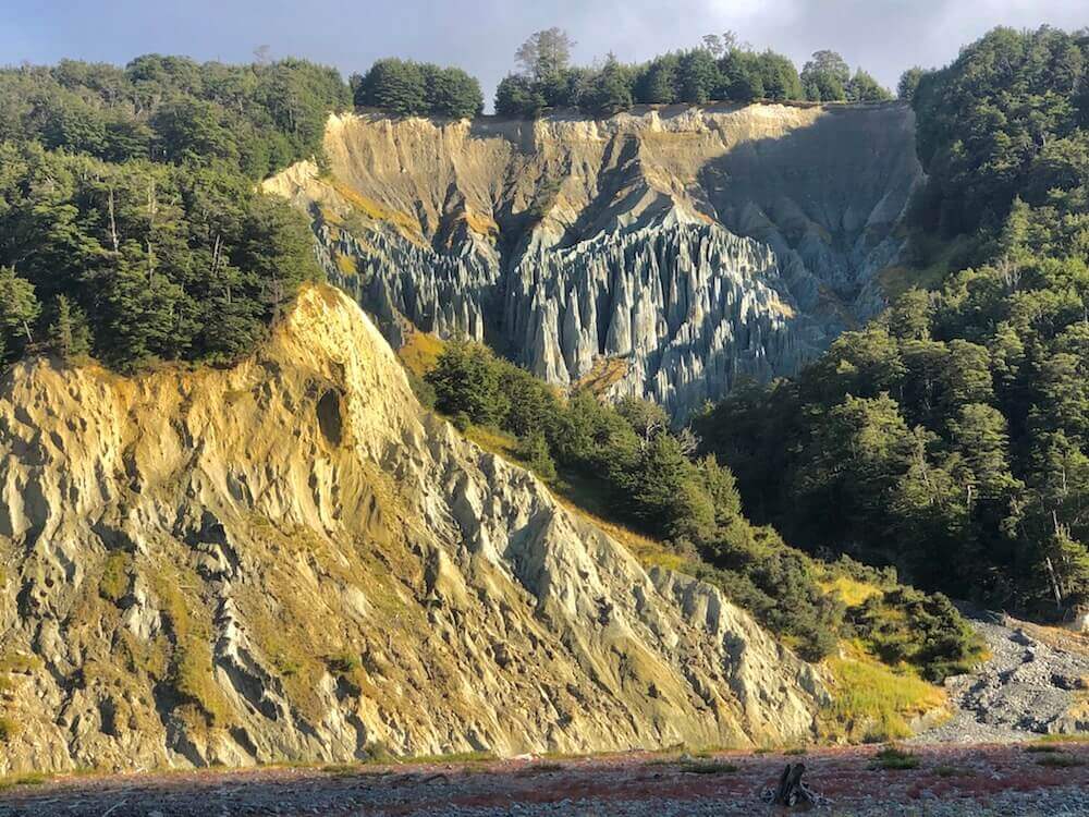
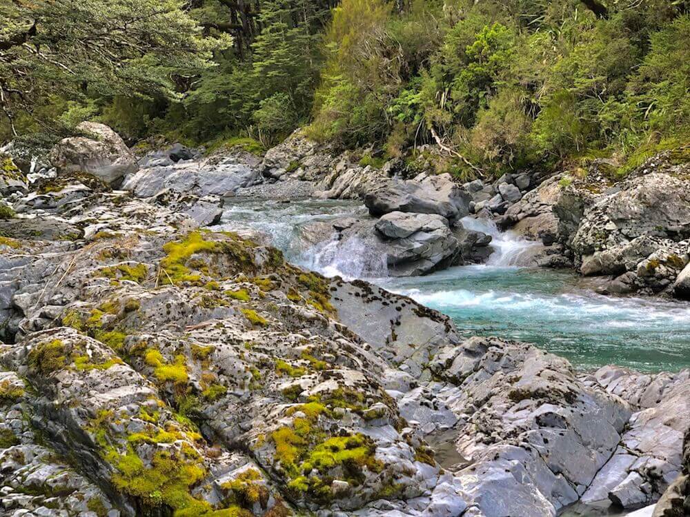
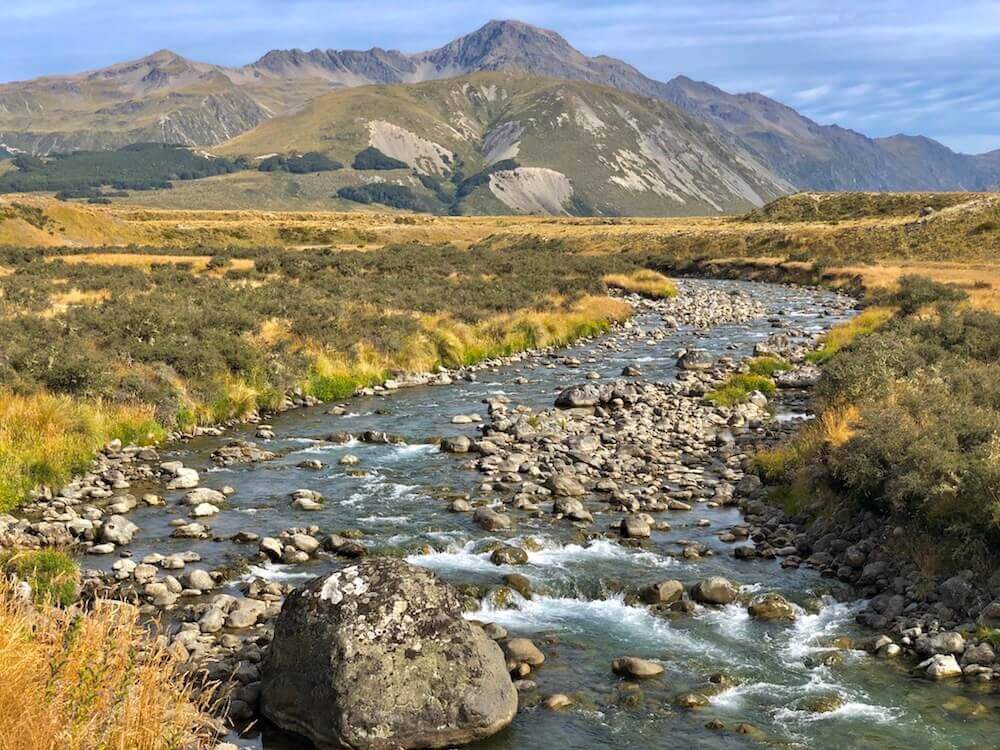
When we started hiking, we saw lots of cyclists. We’ve learned that a race called Ocean 2 Ocean was happening, in which teams are racing from the west coast to the east coast via kayaking, mountain running, and cycling. Actually, the mountain run happened right on the trail we were taking. We gave way to over 200 trail runners that ran past us. By the time we got to Goat Pass, all competitors past us on their 32km run. We were basically doing the same trail just in the opposite direction. On the way down Deception River, we saw just how challenging that run must have been. Since for about 400m the trail was literally the creek itself. After that, we were in and out of the creek. It felt like canyoning, it was fun even if it was raining and the water was cold. We found a campsite further down beside the river.
When we started hiking, we saw lots of cyclists. We’ve learned that a race called Ocean 2 Ocean was happening, in which teams are racing from the west coast to the east coast via kayaking, mountain running, and cycling. Actually, the mountain run happened right on the trail we were taking. We gave way to over 200 trail runners that ran past us. By the time we got to Goat Pass, all competitors past us on their 32km run. We were basically doing the same trail just in the opposite direction. On the way down Deception River, we saw just how challenging that run must have been. Since for about 400m the trail was literally the creek itself. After that, we were in and out of the creek. It felt like canyoning, it was fun even if it was raining and the water was cold. We found a campsite further down beside the river.
Day 38 ~ Distance: 30km, Climb: 280m, Cumulative: 989km
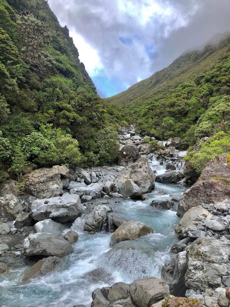
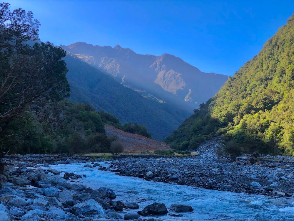
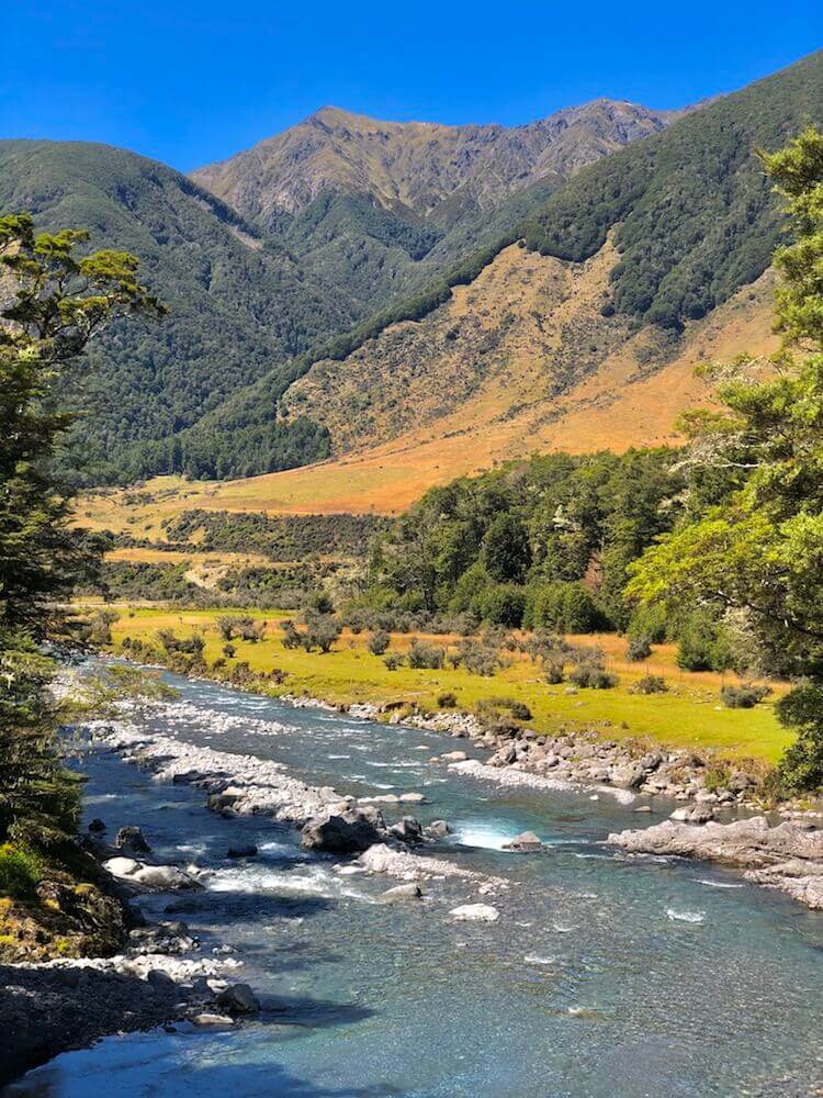
We still had to deal with Deception River, by then it was much bigger. In some places, it got tricky to cross. The creek was icy cold, it was once more hard to respect my partner’s speed as my toes got numb. After Deception River we started going upstream Taramakau River. It is a long valley and spent the rest of the day making our way through creek beds.
We still had to deal with Deception River, by then it was much bigger. In some places, it got tricky to cross. The creek was icy cold, it was once more hard to respect my partner’s speed as my toes got numb. After Deception River we started going upstream Taramakau River. It is a long valley and spent the rest of the day making our way through creek beds.
Day 39 ~ Distance: 30km, Climb: 500m, Cumulative: 1019km
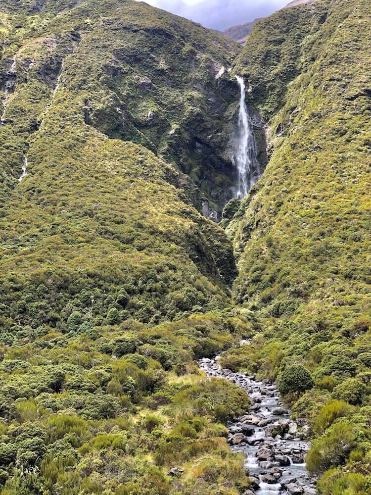
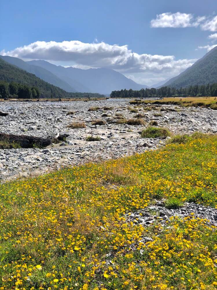
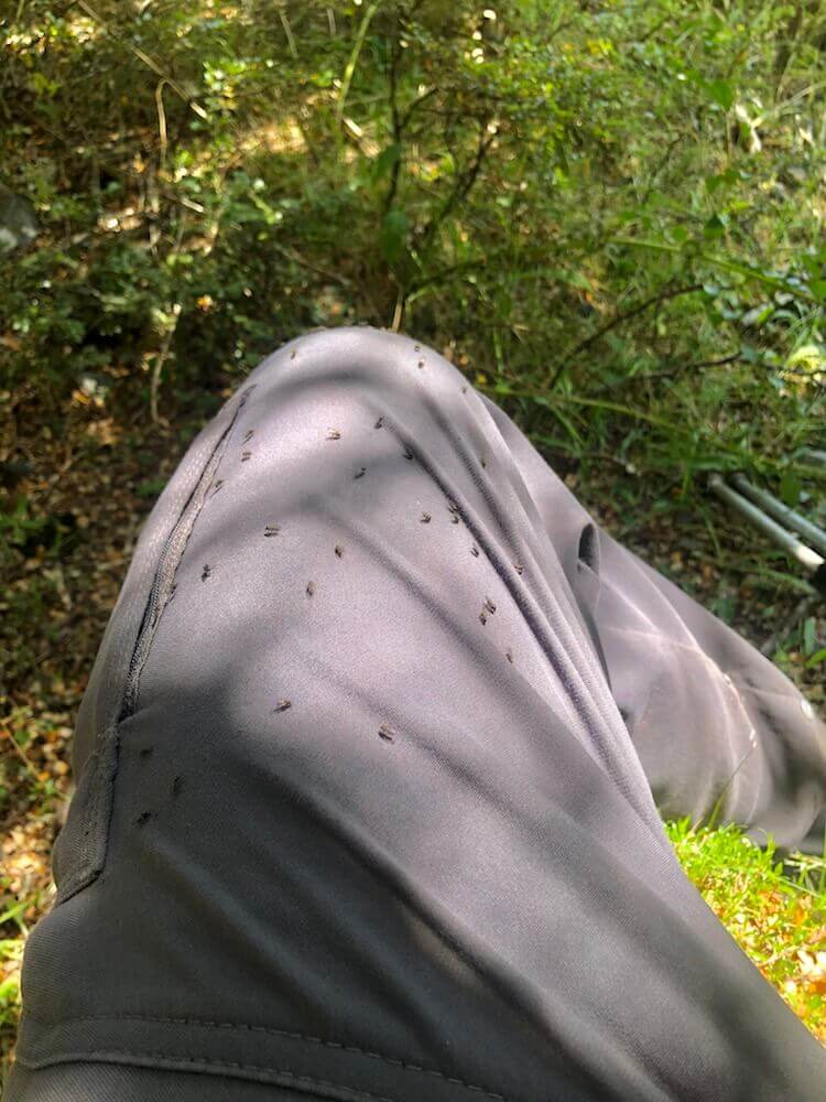
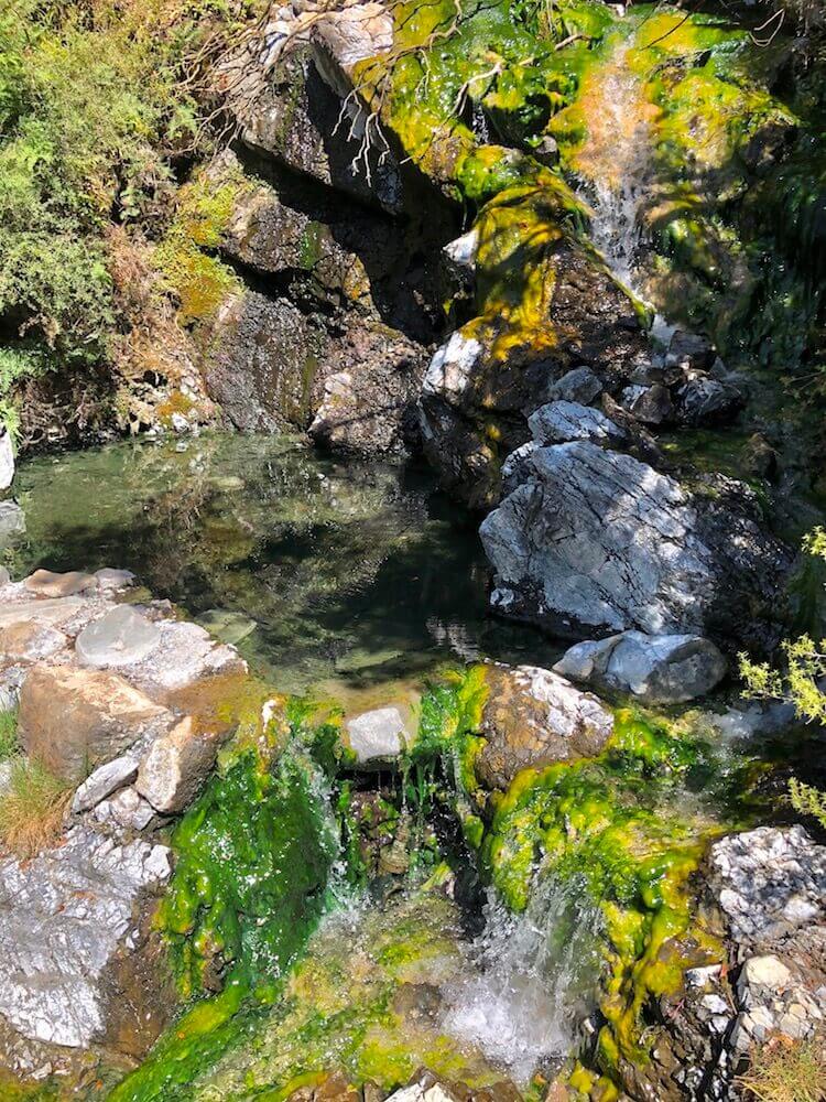
Yesterday we camped at some of the last flat spots before the climb to Harper Pass. So it was nice to climb in the cool morning. We followed the Hurunui River for the rest of the day. Over the day we crossed the 1000km milestone. On the way, we saw a natural hot spring. We know we were close when we crossed a small creek and realized it was warm water. Unfortunately, it was too hot for a soak, so we pushed on. We were camping overlooking Lake Sumner, it is extremely buggy here. We were glad to have some bug protection.
Yesterday we camped at some of the last flat spots before the climb to Harper Pass. So it was nice to climb in the cool morning. We followed the Hurunui River for the rest of the day. Over the day we crossed the 1000km milestone. On the way, we saw a natural hot spring. We know we were close when we crossed a small creek and realized it was warm water. Unfortunately, it was too hot for a soak, so we pushed on. We were camping overlooking Lake Sumner, it is extremely buggy here. We were glad to have some bug protection.
Day 40 ~ Distance: 26km, Climb: 500m, Cumulative: 1045km
Last day away from civilization, they were nice huts on the way where we stopped for some shade. The trail was easy and well worn. We arrived kinda late close to the highway where we have to hitchhike to our next resupplying town. So we decided to camp a few kilometres away. Found a nice shade spot (bug-free). We slept under the stars. We enjoyed these beautiful lights in the sky until we fell asleep.
Last day away from civilization, they were nice huts on the way where we stopped for some shade. The trail was easy and well worn. We arrived kinda late close to the highway where we have to hitchhike to our next resupplying town. So we decided to camp a few kilometres away. Found a nice shade spot (bug-free). We slept under the stars. We enjoyed these beautiful lights in the sky until we fell asleep.
Day 41 ~ Distance: 12km, Climb: 20m, Cumulative: 1057km
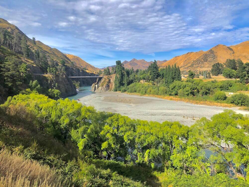
We walked 3km to the highway and started hitchhiking. The traffic was very little and at least 7 of 10 cars were going in the other direction. We stood there for about 1h, we were starting to make a plan to walk the 45km into town when a kind soul stopped*. From where he dropped us we only had to walk 9km to town. Found a nice campground, a well-deserved shower to finally get rid of a pound of dry sweet, laundry to turn our sandpaper socks into soft ones, we repaired the war scars of our sad shoes, and lots of food to counter some calories deficits.
*Thx to Shay a beekeeper and surfer that gave us a ride.
Day 42 ~ Distance: 0km, Climb: 0m, Cumulative: 1057km
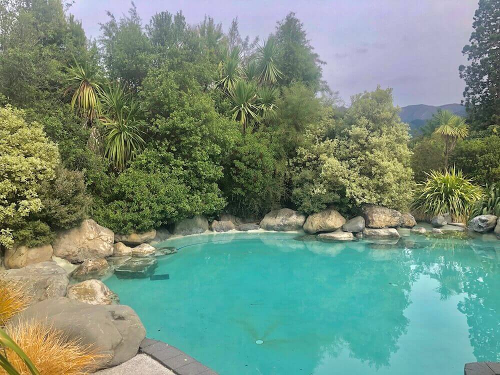
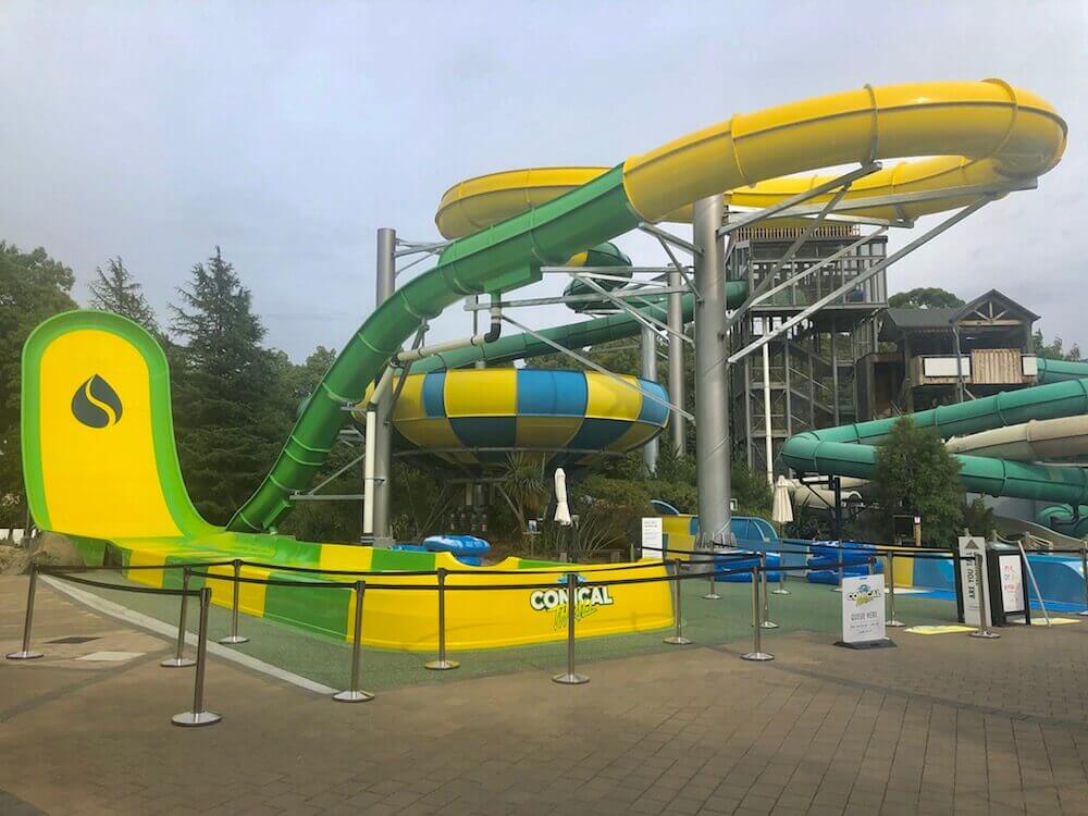
Hanmer Springs is known for its hot springs, which we visited today. We spent the afternoon resupplying which was a lot, we needed 5 days of food for the upcoming section and another 7-8 days worth of food that we sent in a box at our next resupply. Since we’ve heard that little town only has a small convenience store that is expensive.
Hanmer Springs is known for its hot springs, which we visited today. We spent the afternoon resupplying which was a lot, we needed 5 days of food for the upcoming section and another 7-8 days worth of food that we sent in a box at our next resupply. Since we’ve heard that little town only has a small convenience store that is expensive.
Day 43 ~ Distance: 31km, Climb: 680m, Cumulative: 1088km
We left Hanmer Springs and took one of my shortcuts, instead of hitchhiking back to the trail, we started walking from the city. We would meet back the trail in a day or two. We walked along a gravel road the entire day. It was misty and drizzly at first and then it cleared up. We were lucky to find a sheltered spot in the only trees we saw of almost the entire day.
We left Hanmer Springs and took one of my shortcuts, instead of hitchhiking back to the trail, we started walking from the city. We would meet back the trail in a day or two. We walked along a gravel road the entire day. It was misty and drizzly at first and then it cleared up. We were lucky to find a sheltered spot in the only trees we saw of almost the entire day.
Day 44 ~ Distance: 33km, Climb: 650m, Cumulative: 1121km
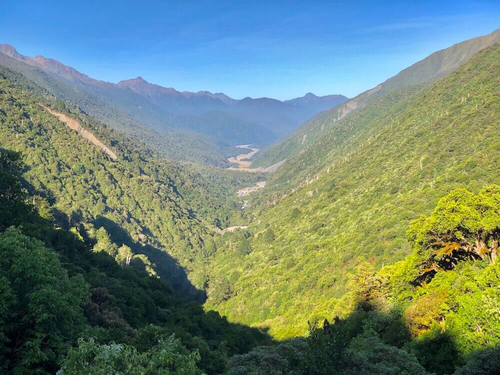
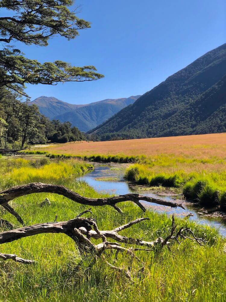
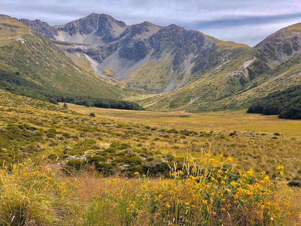
After 10km, we left the gravel road for an off-road that went up to a saddle with a beautiful view over the next valley. It is at the bottom of the valley that we met the TA trail again and followed the Waiau River upstream. We camped in the last trees just before it starts to climb steeply to Waiau Pass.
After 10km, we left the gravel road for an off-road that went up to a saddle with a beautiful view over the next valley. It is at the bottom of the valley that we met the TA trail again and followed the Waiau River upstream. We camped in the last trees just before it starts to climb steeply to Waiau Pass.
|
If you want to help me out.
Support this website |
Any questions or comments?
Contact me |
Treks Travels Thoughts is uncopyrighted
