
“There are no shortcuts to any place worth going.”
-Beverly Sills
|
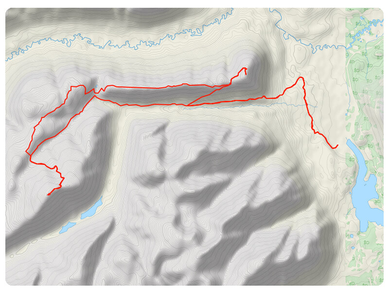
Download the GPS file
|
|
|
Driving Directions |
|
|
From Whitehorse, drive south on the Alaska Highway. At the Carcross cut-off, make a right turn. After about 16km on the Klondike Highway, start to look for the Annie Lake Road cut-off (on your right). After about 17km on this road, you will cross Perkins Creek and see Annie Lake on your left. After passing the creek, turn right on the first gravel road that you see. Less than a kilometre on this road, you will get to a trapping sign. There is some parking either shortly before the sign or a bit after.
|
Links to
|
|
|
Description |
|
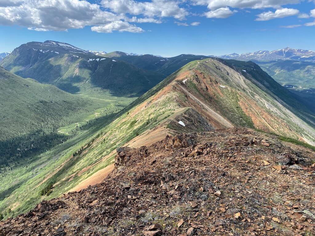
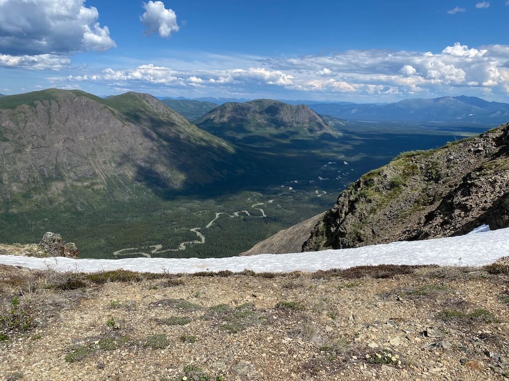
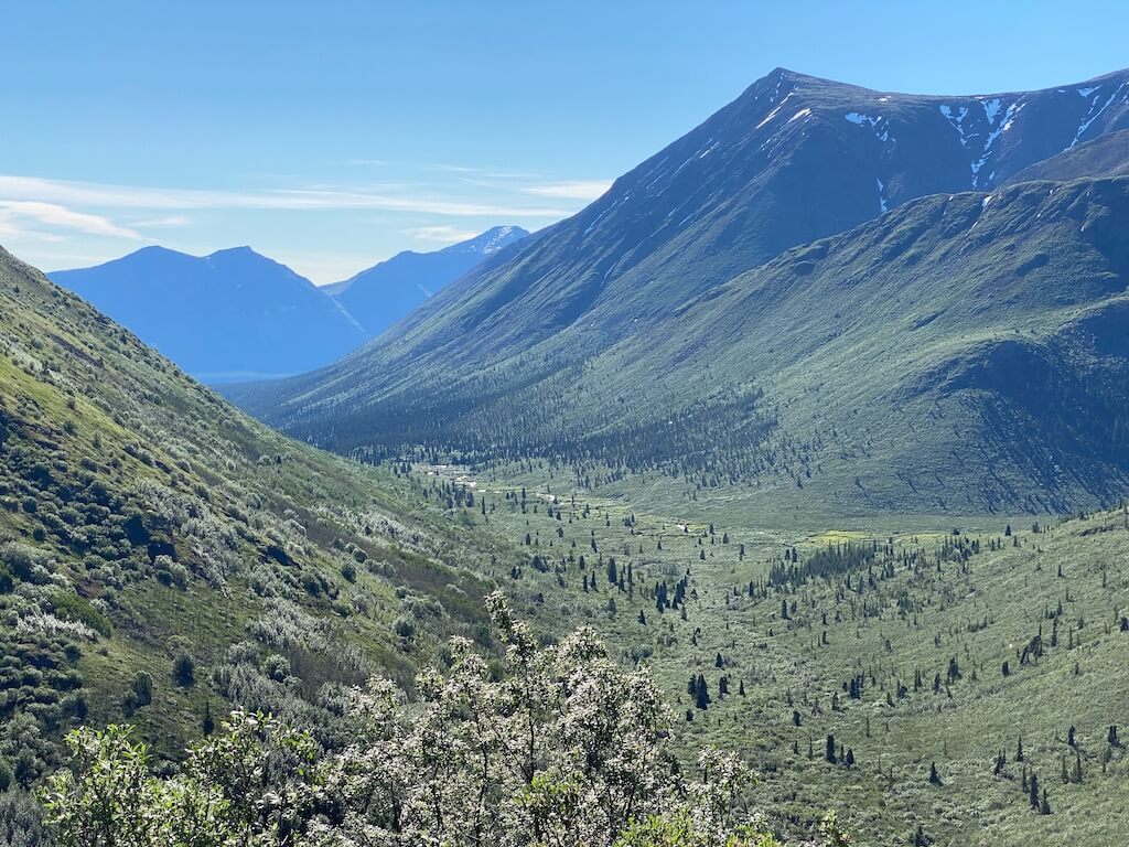
From that parking, follow the main ATV road into Thompson Valley. About 9km in, you will have another ATV road on the right (heading to the top of Red Ridge). This is part of the Red Ridge hike (from yukonhiking.ca). Once on top, follow the ridge west. By the end of the ridge, there will be an ATV heading down. This road connects to another one. At this intersection, take a right. From that point on, the ATV you will be following is overgrown and barely used (but it beats bushwalking). This old ATV road dies once you reach the top of the hill. Head straight through the alpine landscape for Mineral Hill. Shortly before you reach it, there will be another ATV road heading down to the source of Morrison Creek on your left. Once down from that saddle, cross the creek and follow the ATV road up towards Mount Hodnett. The backcountry road ends on the ridge. From there, simply follow the rocky ridge to the summit.
For the way down, follow the same way to Morrison Creek. Once at the creek, follow the ATV road heading down the valley (following the creek). This road connects to the one that goes parallel to Red Ridge, which is the same one you used coming up.
Scramble: Just before you reach the summit of Mount Hodnett, there will be a short section where you might use your hands.
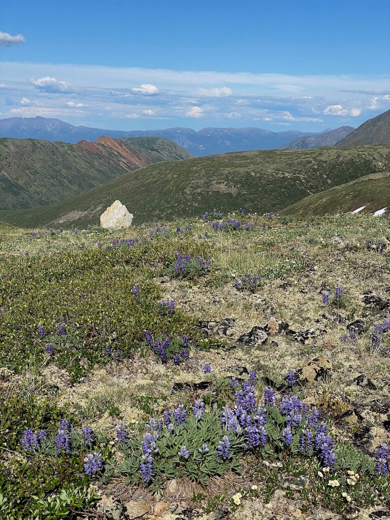
Bushwalking: For most of the trail, you will be walking on ATV roads. On some ridges, you will be walking in the alpine and sometimes in-between knee-high bushes.
For the way down, follow the same way to Morrison Creek. Once at the creek, follow the ATV road heading down the valley (following the creek). This road connects to the one that goes parallel to Red Ridge, which is the same one you used coming up.
Scramble: Just before you reach the summit of Mount Hodnett, there will be a short section where you might use your hands.
Bushwalking: For most of the trail, you will be walking on ATV roads. On some ridges, you will be walking in the alpine and sometimes in-between knee-high bushes.
|
|
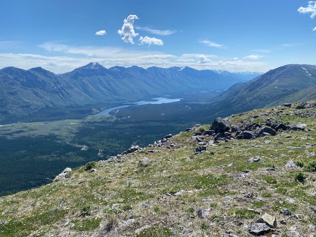
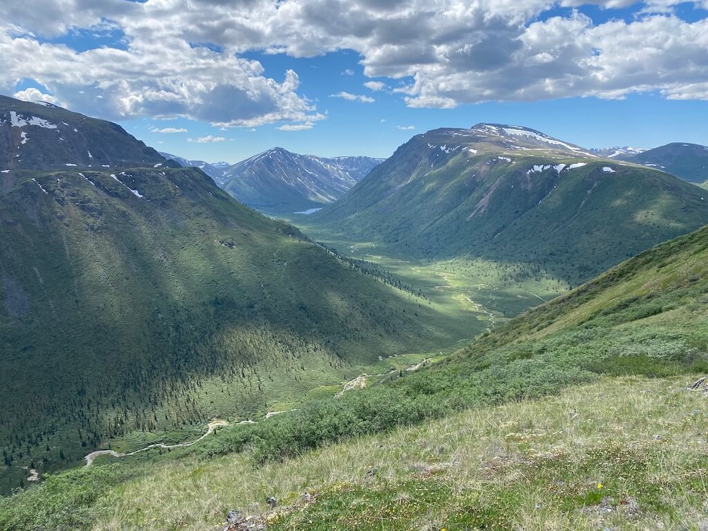
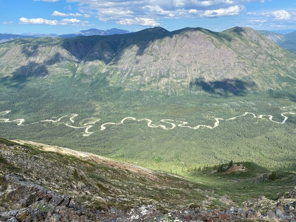
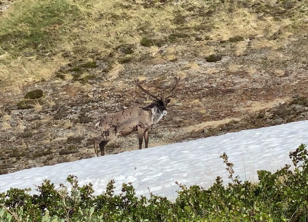
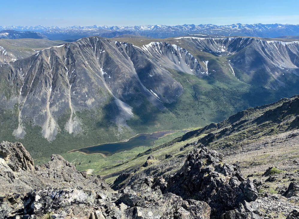
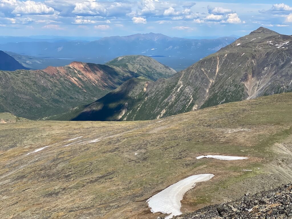
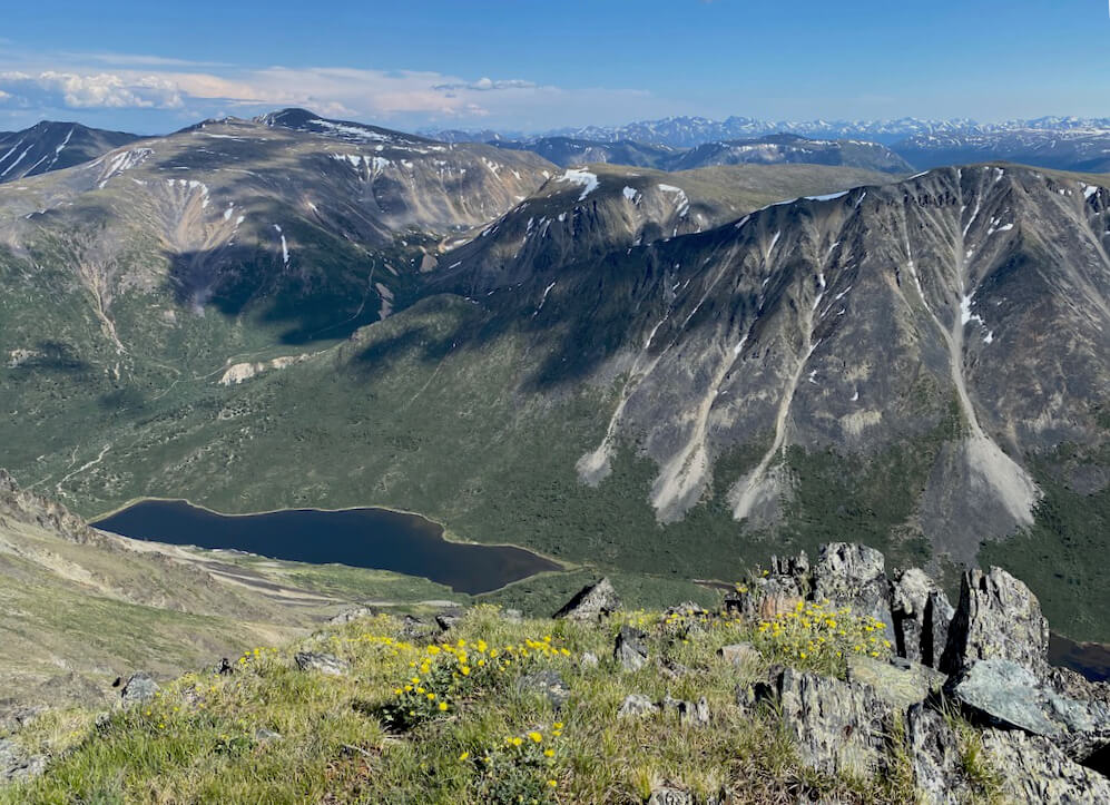
Pictures |
|


|
If you want to help me out.
Support this website |
Any questions or comments?
Contact me |
Treks Travels Thoughts is uncopyrighted