“A man who keeps company with glaciers comes to feel tolerably insignificant by and by.”
-Mark Twain
|
Download the GPS file
|
|
|
Driving Directions |
|
|
|
Description |
|
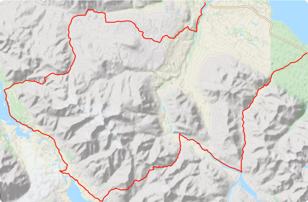
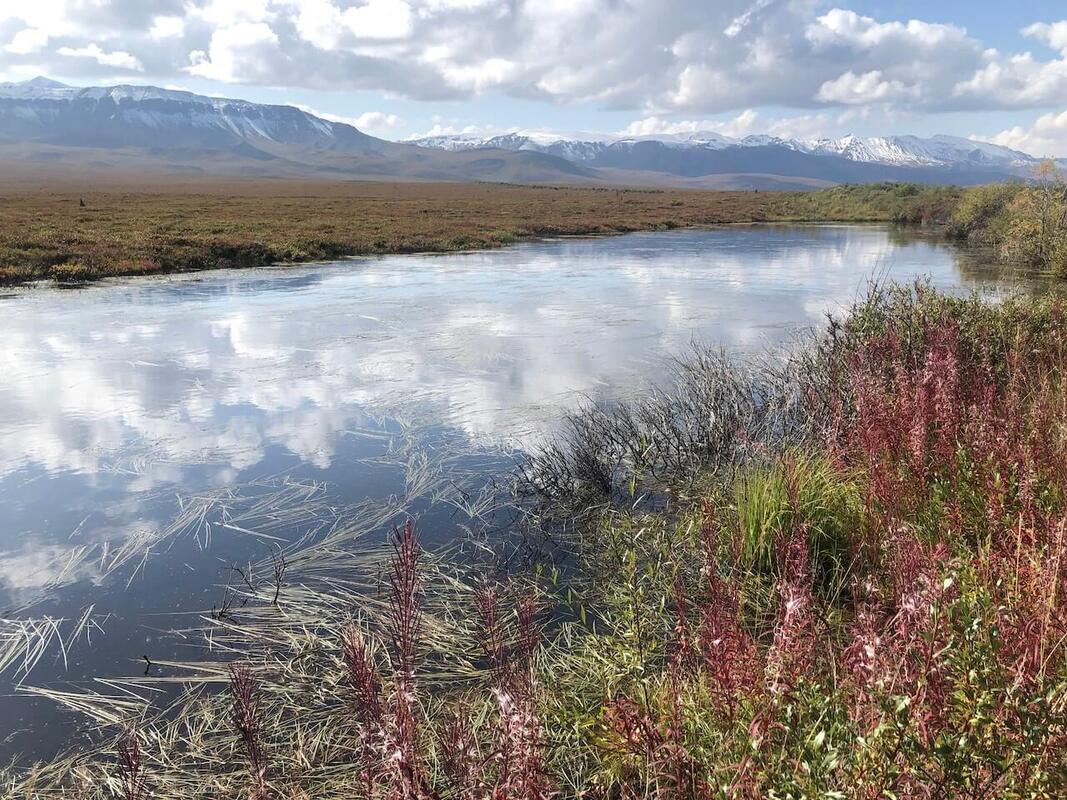
The trail starts by following an old mining road all the way into the park boundary. Once you reached a small camp, head to your right up the creek, always following the old road. After about 1.5km you will come to a junction, take a left turn. You will get into the upper land, you will meet a few small lakes on the way. Keep an eye out for caribou, they tend to hang around there.
Once the road starts heading down, it will meet Burwash Creek. Not too far after you will come across another mining camp. The road will then follows the right side of the creek. You will go up a bit since the creek gets a little canyony. Once you passed the tightest part of the creek, it will open on beautiful upper land. The road stops shortly after, but an ATV trail starts, stay on the right side of the creek. The creek will make a wide left turn, Follow the wide creek all the way to its source. You will pass some national park boundary signs, and not long after you will come across a cabin. This upper land is really gorgeous.
Make your way past the cabin while staying on the creek bed. The creeks forks here. Follow the creek on the right. It passes in front of the sharp triangle peak (another beautiful creek with waterfalls and canyon). Stay on the left side of the creek, all the way until you made it past the canyon. You are now almost at Hogan's pass. Follow the creek up until you get to the plateau of the pass.
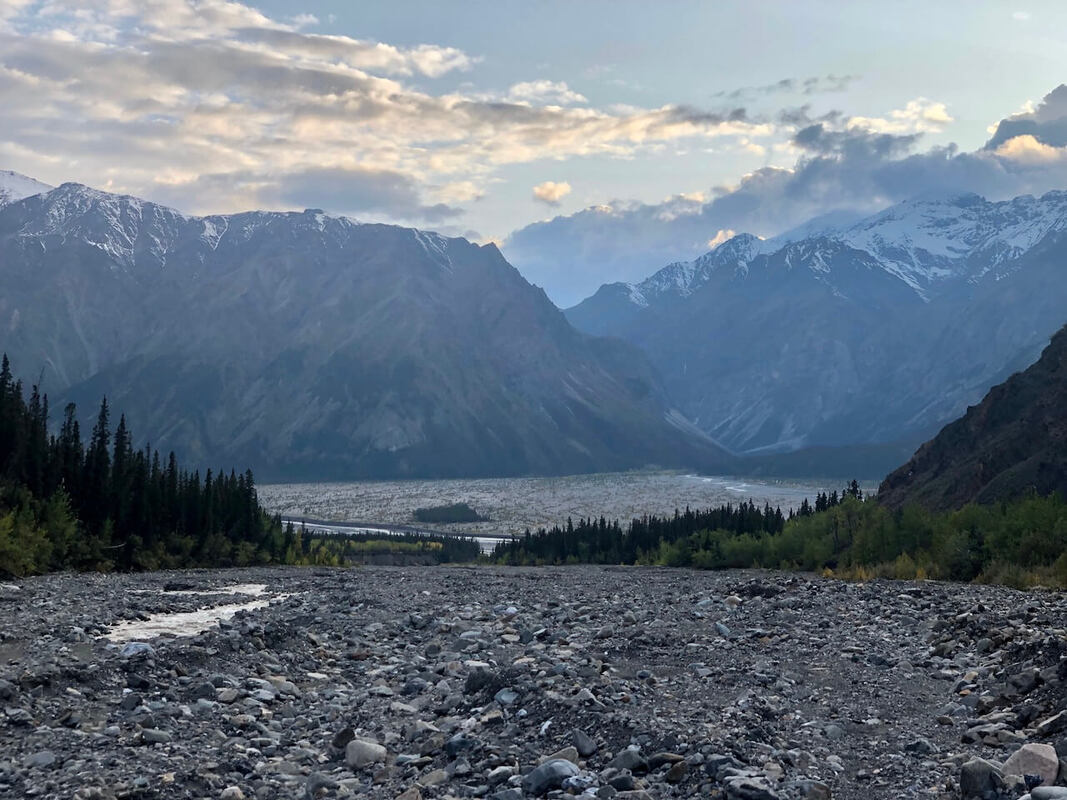
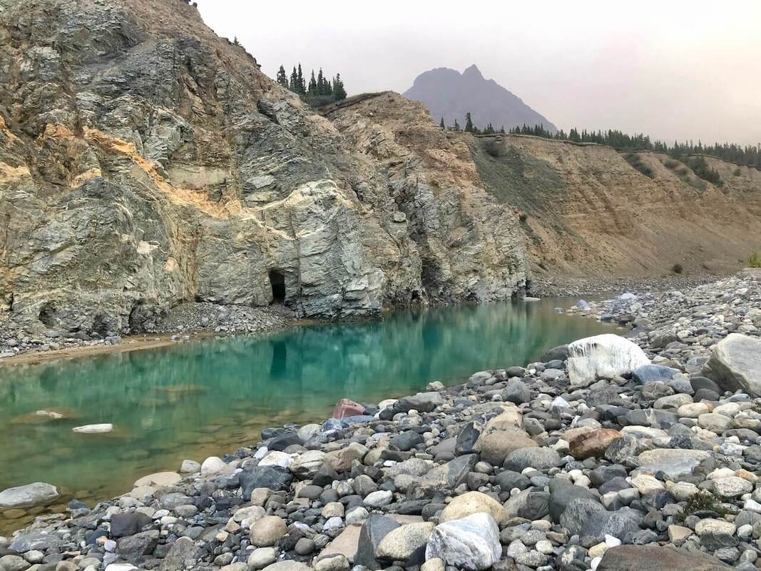
From there, you have to make a curve around the left hill, it will go up and down a few times, passing small creeks, but soon you will have a view into the next valley. It can be a little tricky to find a safe way down from this point, you have to take the second gully. When the gully ends with a small waterfall. (descend on the left side to avoid it. Once you reached the main creek, you simply have to follow it down all the way to the valley of the Donjek River. You will have to cross the Hoge creek multiple time. Once you reached the Donjek river, you have your first glimpse of the glacier.
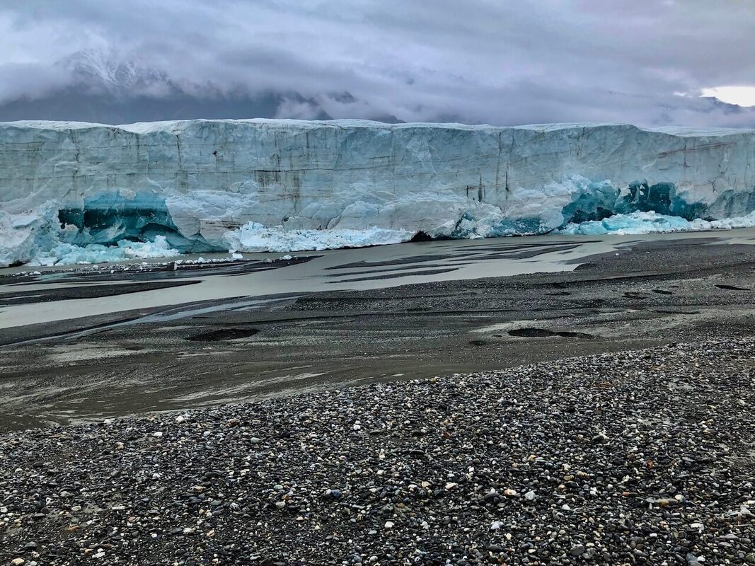
From here, you can do about 6-7km on the river bed (depending on how high is the river) before your hit a canyon on the Donjek River. Then, find an easy place to bushwalk away from the river (North East) keep going up until you are above the pine trees line. There is some sort of trail above that tree line that will help you clock good speed. Keep going parallel to the glacier until you've reached the third wide creek bed, To have a close look at the glacier head down that creek bed all the way until you can nearly touch the glacier (almost).
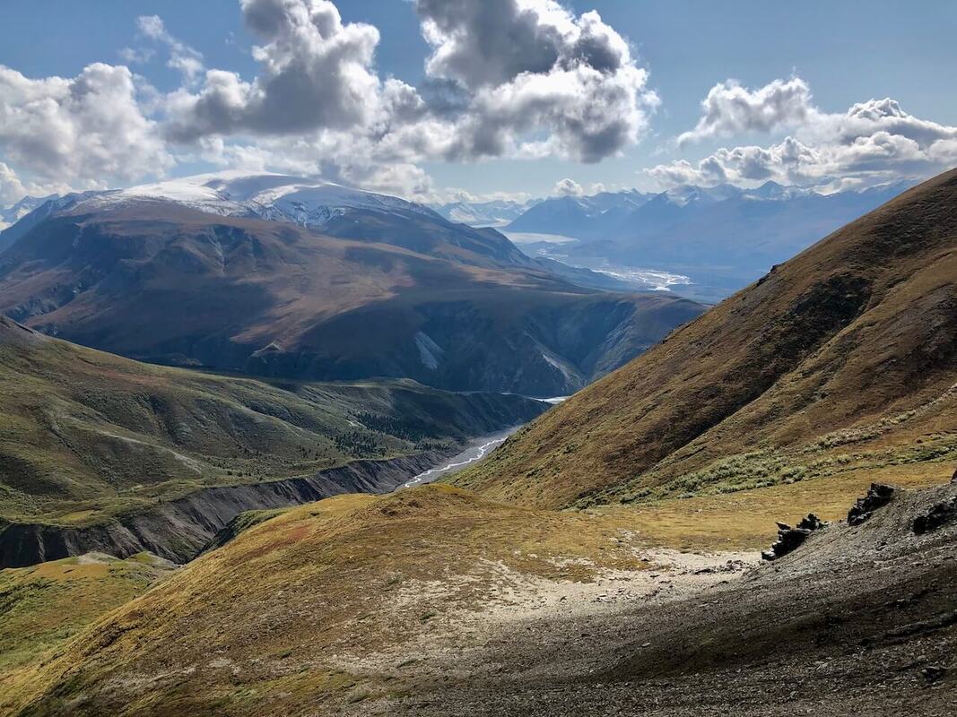
After you have filled your eyes with the beauty of a close encounter with a glacier. Keep walking towards Bighorn Creek. Keep an eye on the creek that originates from Expectation Pass. Expectation Pass is the saddle on the far right on the Hogan Peak Range. Once you have reached that creek, simply follow it all the way up. At the first pass, enjoy a nice view of both, Donjek and Kluane glaciers.
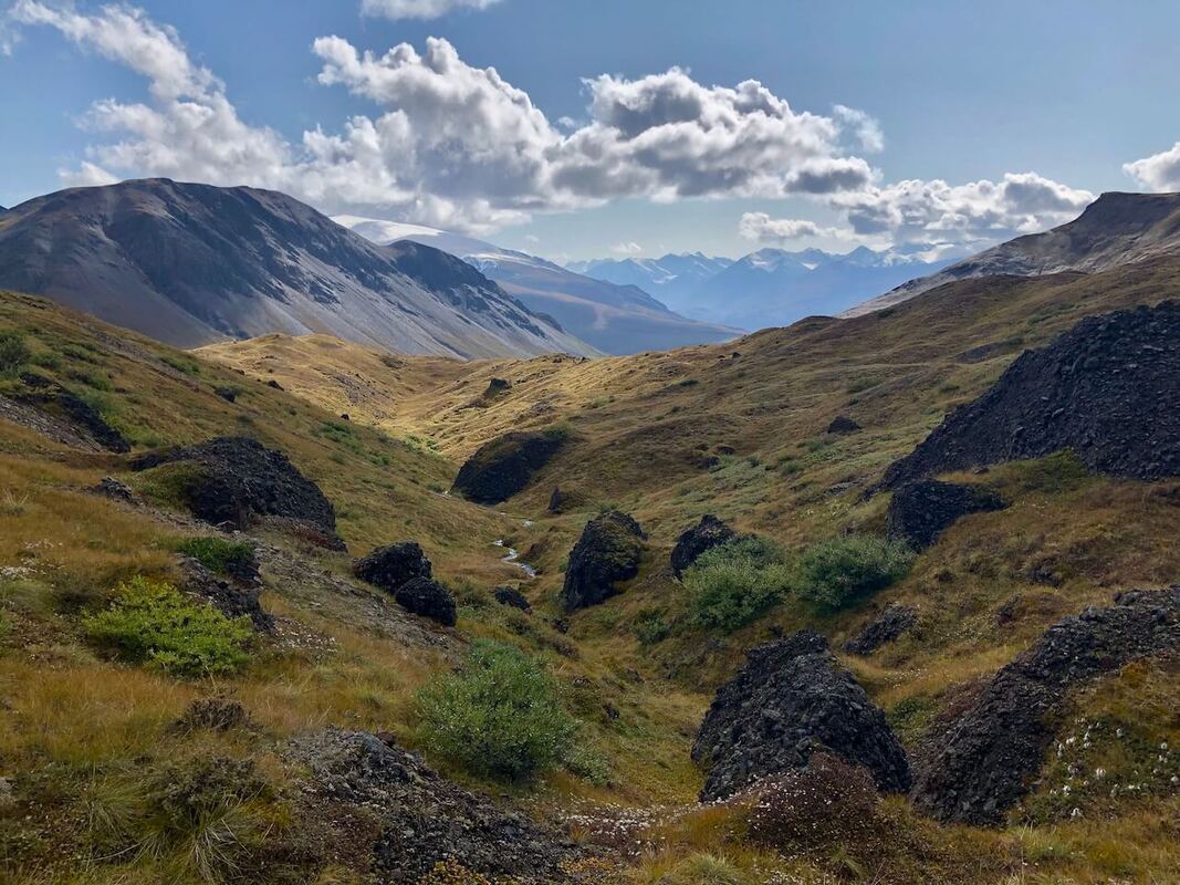
Follow the flank of the mountain to your next and final pass. The pass is between Landmark peak (the snowy one and the biggest one) and the cliffy wall, once you have reached it, take your time for the decent. Make your way on the left along the ridge until you can't because of a cliff. Then follow that cliff, you are aiming for the middle ridge heading down, you are trying to reach the second gully. Follow the ridge down all the way to the saddle. From this point, head for that square of grass on top of a ledge. Once you are there, make your way down on the left side of that patch. This way down can be tricky to find, take your time if you come across a dead-end double back and keep counting around until you find a better way.
From this point on, simply follow the Atlas creek to Duke river. Once you are at Duke river, you have two choices:
1- Main route: Turn right (on the Duke River) heading upstream. You have to follow Duke River for about 10km, during that time look for a good spot to cross over on the other side of the river (if the river is too high refer to the alternative route (#2). After about 10km you will have to bushwalk your way up Cache Lake. From the lake, simply follow Copper Joe Creek to an ATV trail, which brings you back to the highway.
2- Alternative Route: Turn left and head downstream, stay on the dry river bed when you can. Walking is pretty easy for about 6km. Then, the river banks start rising up, and so do you! The sides become really cliffy for a few sharp turns before heading down again. At this point, I chose to head high into the wetland, and to follow the river from up there, to find an easier bushwalking way. Stay high almost all the way until you reach that first camp you came across when you started.
Once the road starts heading down, it will meet Burwash Creek. Not too far after you will come across another mining camp. The road will then follows the right side of the creek. You will go up a bit since the creek gets a little canyony. Once you passed the tightest part of the creek, it will open on beautiful upper land. The road stops shortly after, but an ATV trail starts, stay on the right side of the creek. The creek will make a wide left turn, Follow the wide creek all the way to its source. You will pass some national park boundary signs, and not long after you will come across a cabin. This upper land is really gorgeous.
Make your way past the cabin while staying on the creek bed. The creeks forks here. Follow the creek on the right. It passes in front of the sharp triangle peak (another beautiful creek with waterfalls and canyon). Stay on the left side of the creek, all the way until you made it past the canyon. You are now almost at Hogan's pass. Follow the creek up until you get to the plateau of the pass.
From there, you have to make a curve around the left hill, it will go up and down a few times, passing small creeks, but soon you will have a view into the next valley. It can be a little tricky to find a safe way down from this point, you have to take the second gully. When the gully ends with a small waterfall. (descend on the left side to avoid it. Once you reached the main creek, you simply have to follow it down all the way to the valley of the Donjek River. You will have to cross the Hoge creek multiple time. Once you reached the Donjek river, you have your first glimpse of the glacier.
From here, you can do about 6-7km on the river bed (depending on how high is the river) before your hit a canyon on the Donjek River. Then, find an easy place to bushwalk away from the river (North East) keep going up until you are above the pine trees line. There is some sort of trail above that tree line that will help you clock good speed. Keep going parallel to the glacier until you've reached the third wide creek bed, To have a close look at the glacier head down that creek bed all the way until you can nearly touch the glacier (almost).
After you have filled your eyes with the beauty of a close encounter with a glacier. Keep walking towards Bighorn Creek. Keep an eye on the creek that originates from Expectation Pass. Expectation Pass is the saddle on the far right on the Hogan Peak Range. Once you have reached that creek, simply follow it all the way up. At the first pass, enjoy a nice view of both, Donjek and Kluane glaciers.
Follow the flank of the mountain to your next and final pass. The pass is between Landmark peak (the snowy one and the biggest one) and the cliffy wall, once you have reached it, take your time for the decent. Make your way on the left along the ridge until you can't because of a cliff. Then follow that cliff, you are aiming for the middle ridge heading down, you are trying to reach the second gully. Follow the ridge down all the way to the saddle. From this point, head for that square of grass on top of a ledge. Once you are there, make your way down on the left side of that patch. This way down can be tricky to find, take your time if you come across a dead-end double back and keep counting around until you find a better way.
From this point on, simply follow the Atlas creek to Duke river. Once you are at Duke river, you have two choices:
1- Main route: Turn right (on the Duke River) heading upstream. You have to follow Duke River for about 10km, during that time look for a good spot to cross over on the other side of the river (if the river is too high refer to the alternative route (#2). After about 10km you will have to bushwalk your way up Cache Lake. From the lake, simply follow Copper Joe Creek to an ATV trail, which brings you back to the highway.
2- Alternative Route: Turn left and head downstream, stay on the dry river bed when you can. Walking is pretty easy for about 6km. Then, the river banks start rising up, and so do you! The sides become really cliffy for a few sharp turns before heading down again. At this point, I chose to head high into the wetland, and to follow the river from up there, to find an easier bushwalking way. Stay high almost all the way until you reach that first camp you came across when you started.
|
|
Alternative Routes |
|
|
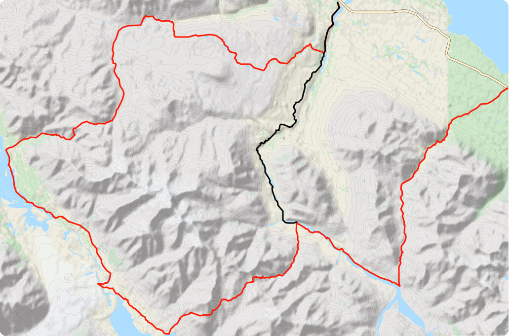
This Alternative is an option to consider if the Duke River is impossible to cross. Or if you wanna return directly to your car. This alternative is harder than the classic routes, it is undefined and involves a lot of bushwalking.
By taking this alternative, you add 300m climb, but reduce the distance by 5km. |
|
|
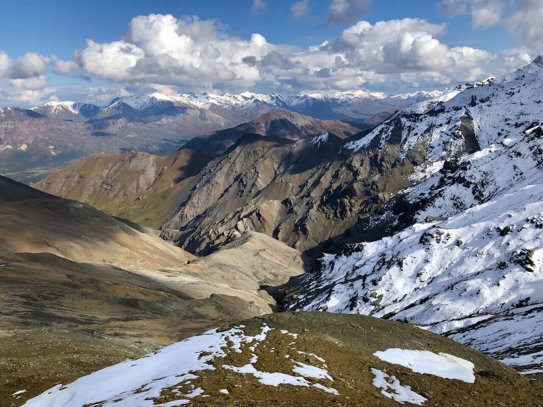
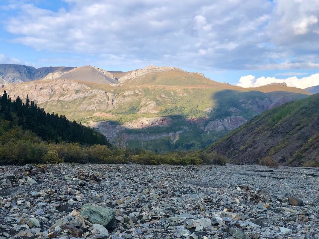
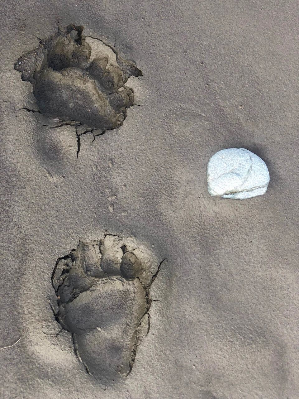
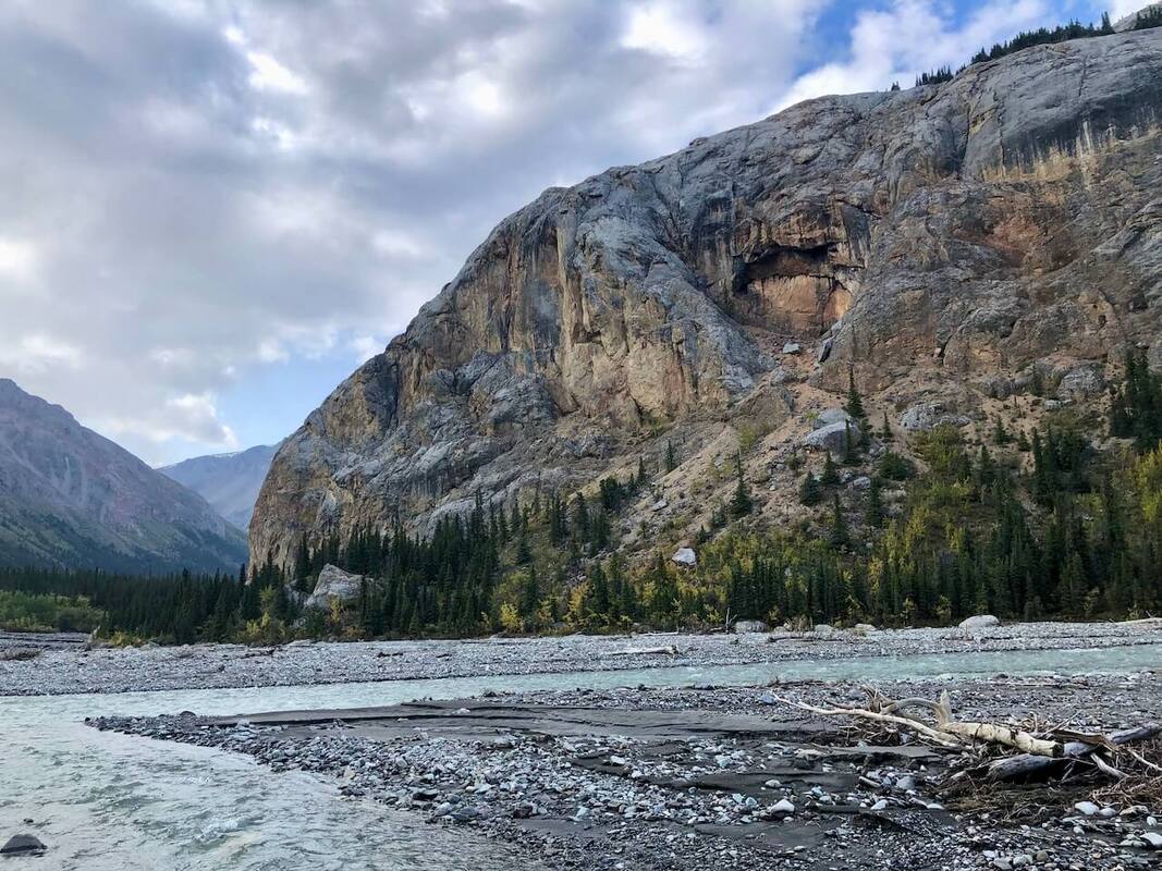
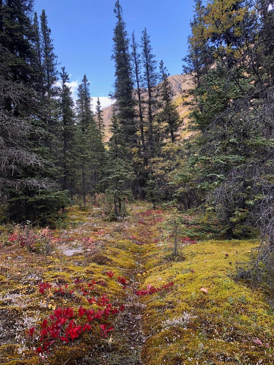
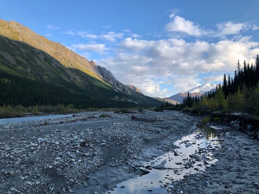
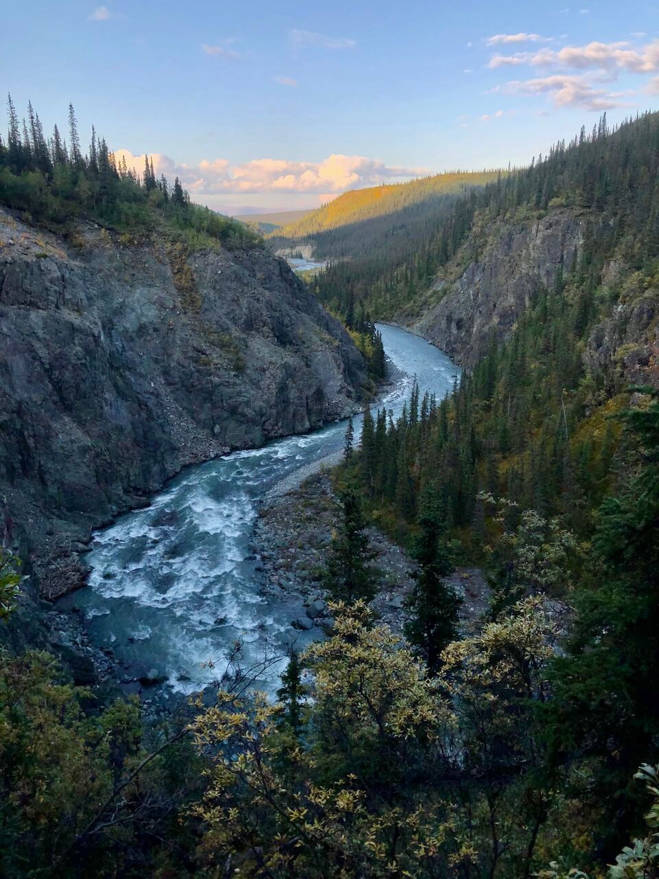
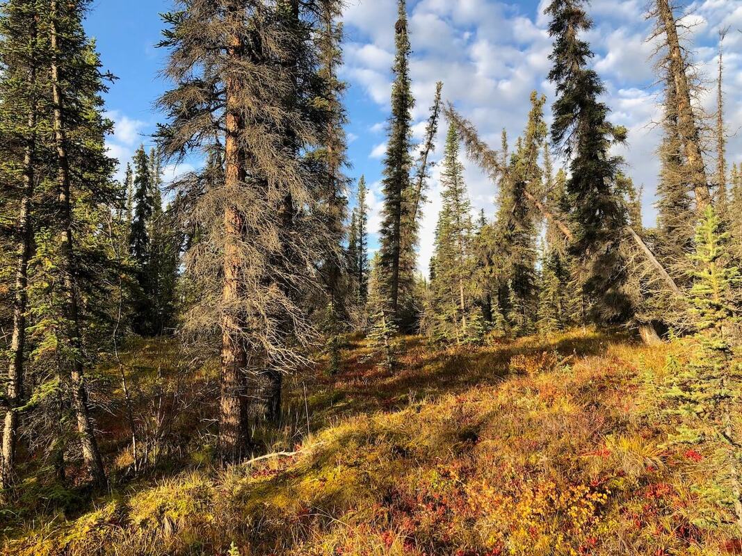
Pictures |
|


|
If you want to help me out.
Support this website |
Any questions or comments?
Contact me |
Treks Travels Thoughts is uncopyrighted