“Writing in a journal each day allows you to direct your focus to what you accomplished, what you’re grateful for and what you’re committed to doing better tomorrow.” -Hal Elrod
I kept a journal every day and shared it as blog posts. I decided to include them here for people that were not subscribed or are big readers and want to go through it once more. Enjoy!
|
|
Day |
|
Day 15 ~ Distance: 0km, Climb: 0m, Cumulative: 517km
First full rest day of the trip, I got my camp ready for that tropical storm. I made a tranche around my shelter to facilitate the water drainage. I was ready for the 45mm of rain my weather app was warning me about. Ironically, it barely rained… weather is not always accurate, but being that off was surprising. The wind was spot on though, wind gusts were strong and were making trees around my camp dance.
First full rest day of the trip, I got my camp ready for that tropical storm. I made a tranche around my shelter to facilitate the water drainage. I was ready for the 45mm of rain my weather app was warning me about. Ironically, it barely rained… weather is not always accurate, but being that off was surprising. The wind was spot on though, wind gusts were strong and were making trees around my camp dance.
Day 16 ~ Distance: 43km, Climb: 210m, Cumulative: 559km
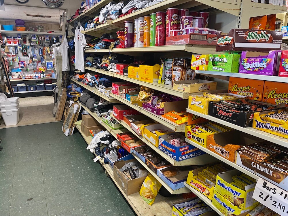
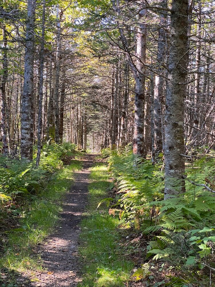
Quite a windy day, I fought against wind gusts all day. I stopped at Terra Nova's convenience store/restaurant. I’m happy I didn’t count this place into my resupply plan. Their selection was extremely limited. I did stop for a warm treat though. The T'Railway is a lot quieter today. I really appreciate it. I found a good spot away from the wind for the night. It is supposed to drop slightly below freezing tonight.
*Special thanks to the lady working at the convenience store in Terra Nova for refilling my bottles with drinking water.
Day 17 ~ Distance: 41km, Climb: 120m, Cumulative: 600km
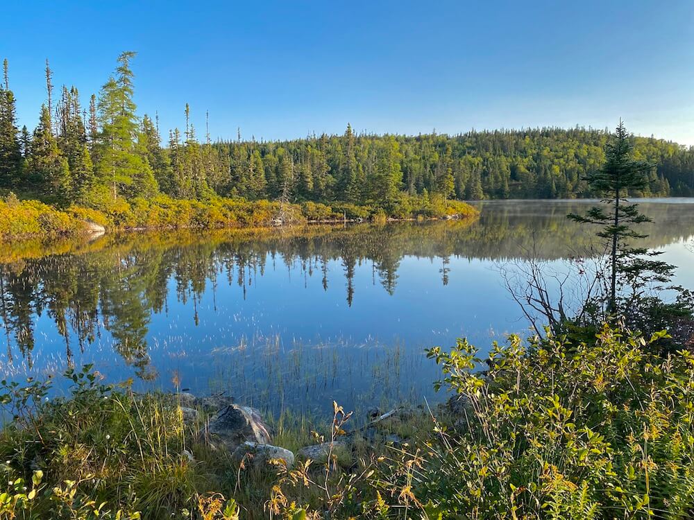
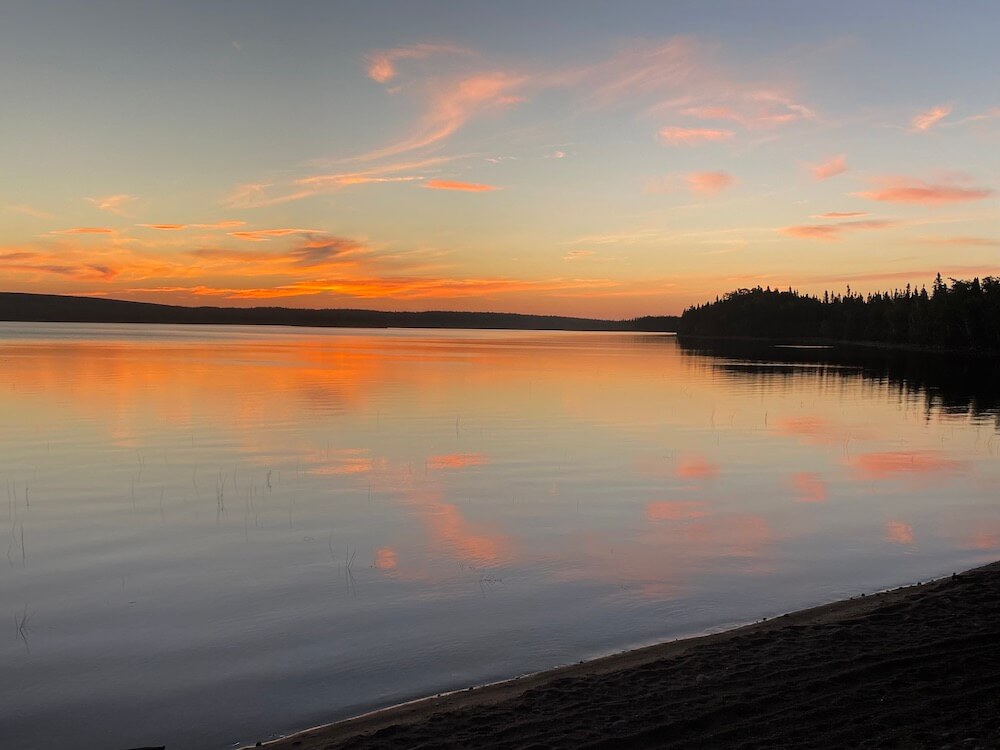
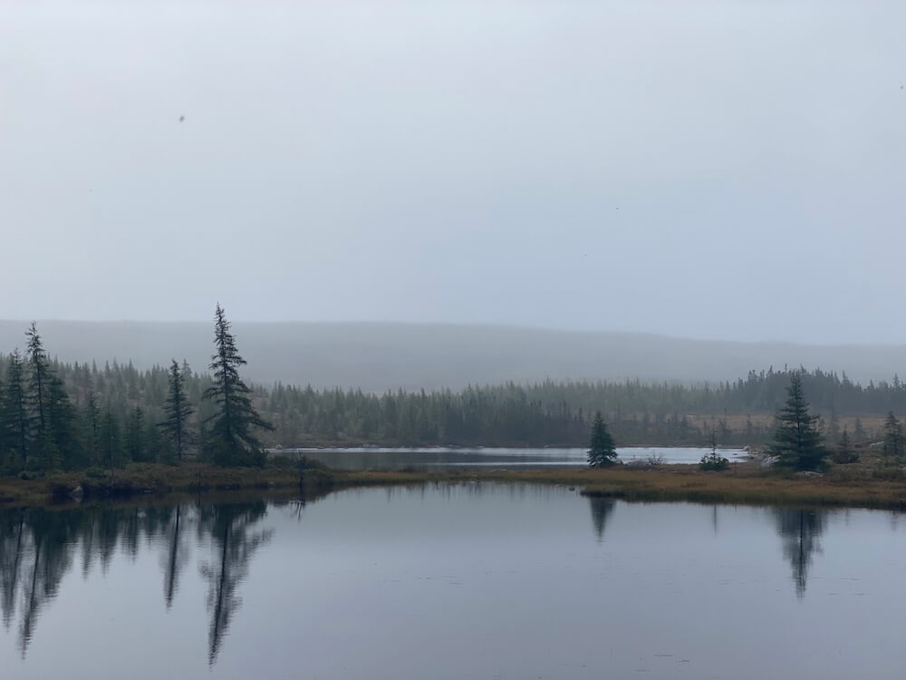
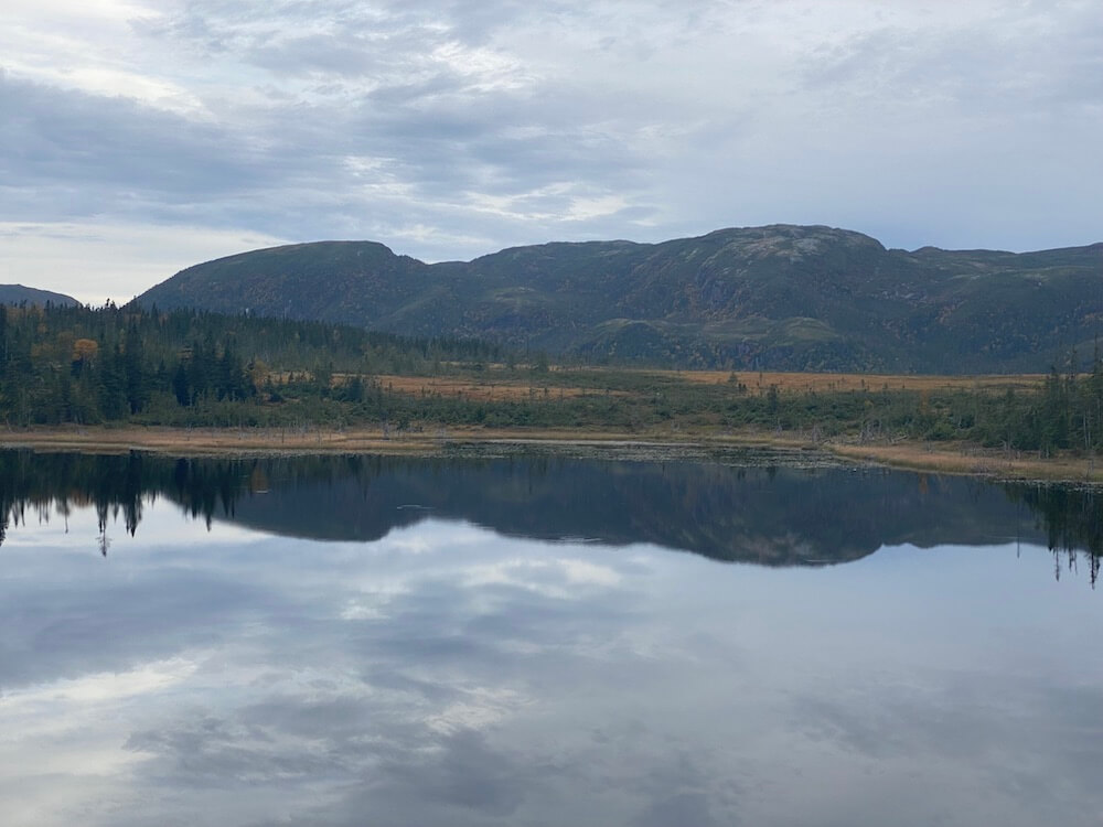
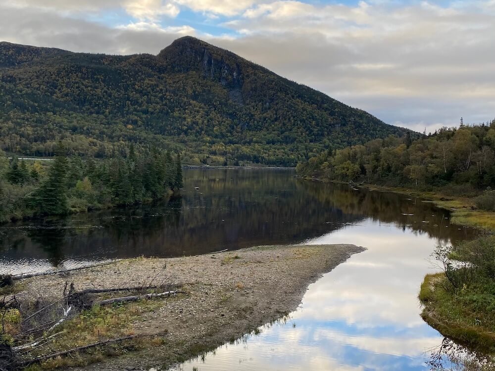
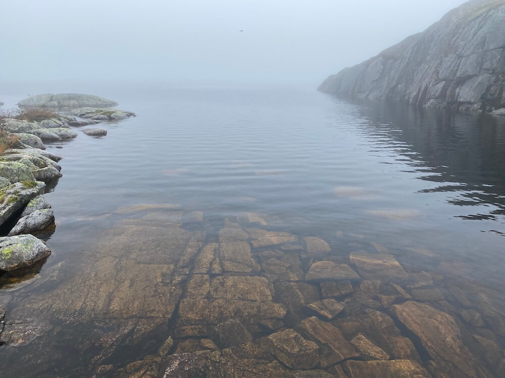
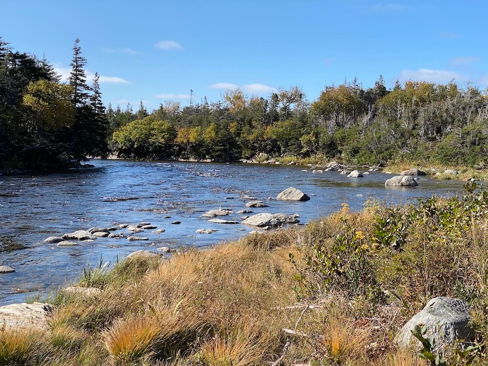
There was frost on my shelter this morning. I packed quickly to start moving as soon as possible. The day was good and went by fast. There were multiple peaceful lakes. I camped early because I found a really neat camp spot beside a lake. I enjoyed my dinner with my feet in the cold water.
There was frost on my shelter this morning. I packed quickly to start moving as soon as possible. The day was good and went by fast. There were multiple peaceful lakes. I camped early because I found a really neat camp spot beside a lake. I enjoyed my dinner with my feet in the cold water.
Day 18 ~ Distance: 46km, Climb: 160m, Cumulative: 646km
I had about 30km to go before getting to the town of Gander, where I resupply (and of course enjoyed fresh food). I listened to a bunch of podcasts about so many different subjects. It’s nice to let the brain work out as well, not only the body. This upcoming section is not too exciting the trail stays relatively close to the main highway (within 1-2km) so I still hear the cars even if I don’t see them. It’s definitely better than walking beside the road. That’s why podcasts are great!
I had about 30km to go before getting to the town of Gander, where I resupply (and of course enjoyed fresh food). I listened to a bunch of podcasts about so many different subjects. It’s nice to let the brain work out as well, not only the body. This upcoming section is not too exciting the trail stays relatively close to the main highway (within 1-2km) so I still hear the cars even if I don’t see them. It’s definitely better than walking beside the road. That’s why podcasts are great!
Day 19 ~ Distance: 46km, Climb: 100m, Cumulative: 692km
The day was hot! I could see how slowly the trees are changing colours. I found a campsite just outside Norris Arm subdivision. I wanted to walk a little further at the end of the day. To make my town day tomorrow shorter. But the subdivision is long and full of houses, so I would have probably had to camp really late.
The day was hot! I could see how slowly the trees are changing colours. I found a campsite just outside Norris Arm subdivision. I wanted to walk a little further at the end of the day. To make my town day tomorrow shorter. But the subdivision is long and full of houses, so I would have probably had to camp really late.
Day 20 ~ Distance: 43km, Climb: 110m, Cumulative: 735km
I had about 38km before reaching Grand-Falls-Windsor, where I bought food for 3 1/2 days. Then, I walked for about 1h outside of town to a campground right beside the trail. I was able to enjoy their campground just in time. They were closing tomorrow for the season. I enjoyed the trilogy (washer, shower, and power) who makes anyone that spends a long time in the wilderness happy.
I had about 38km before reaching Grand-Falls-Windsor, where I bought food for 3 1/2 days. Then, I walked for about 1h outside of town to a campground right beside the trail. I was able to enjoy their campground just in time. They were closing tomorrow for the season. I enjoyed the trilogy (washer, shower, and power) who makes anyone that spends a long time in the wilderness happy.
Day 21 ~ Distance: 44km, Climb: 200m, Cumulative: 779km
I packed my stuff on a chilly morning. Yesterday the campground owners offered me a heater because It was supposed to get just below freezing. I declined, but it shows just how friendly and caring people are here. My motivation was low most of the day. I blame my short sleep. Tomorrow will be better.
I packed my stuff on a chilly morning. Yesterday the campground owners offered me a heater because It was supposed to get just below freezing. I declined, but it shows just how friendly and caring people are here. My motivation was low most of the day. I blame my short sleep. Tomorrow will be better.
Day 22 ~ Distance: 45km, Climb: 280m, Cumulative: 824km
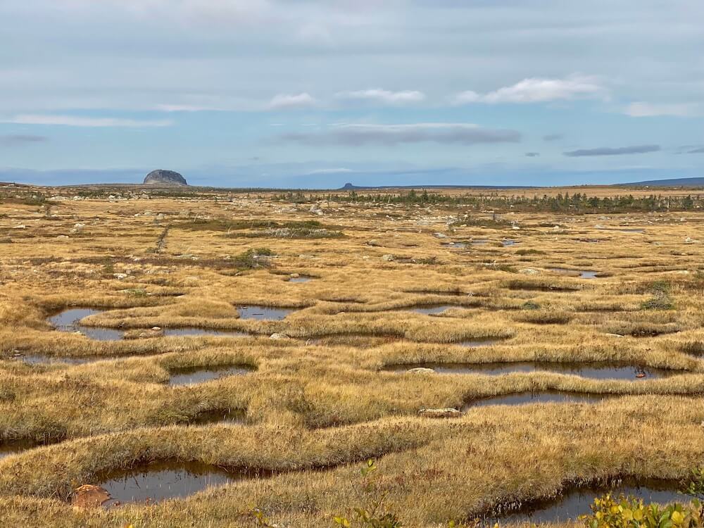
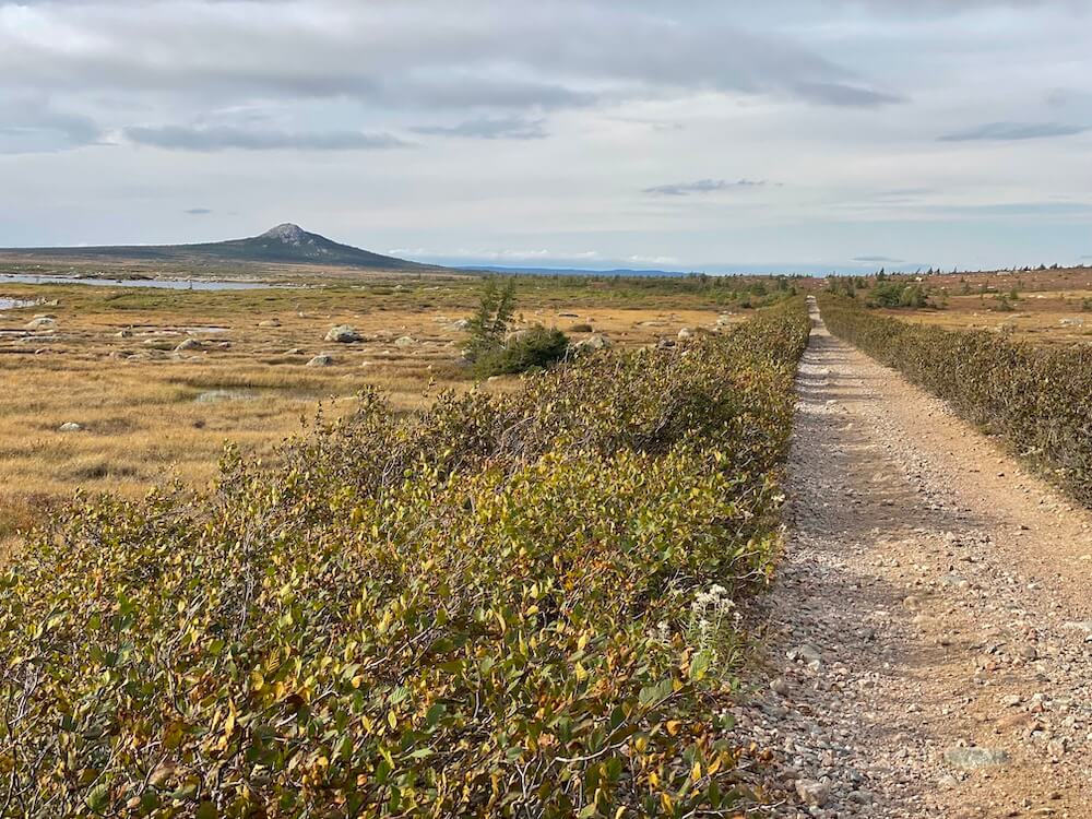
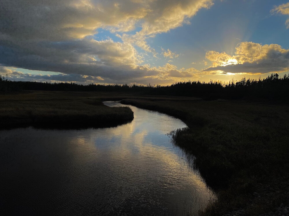
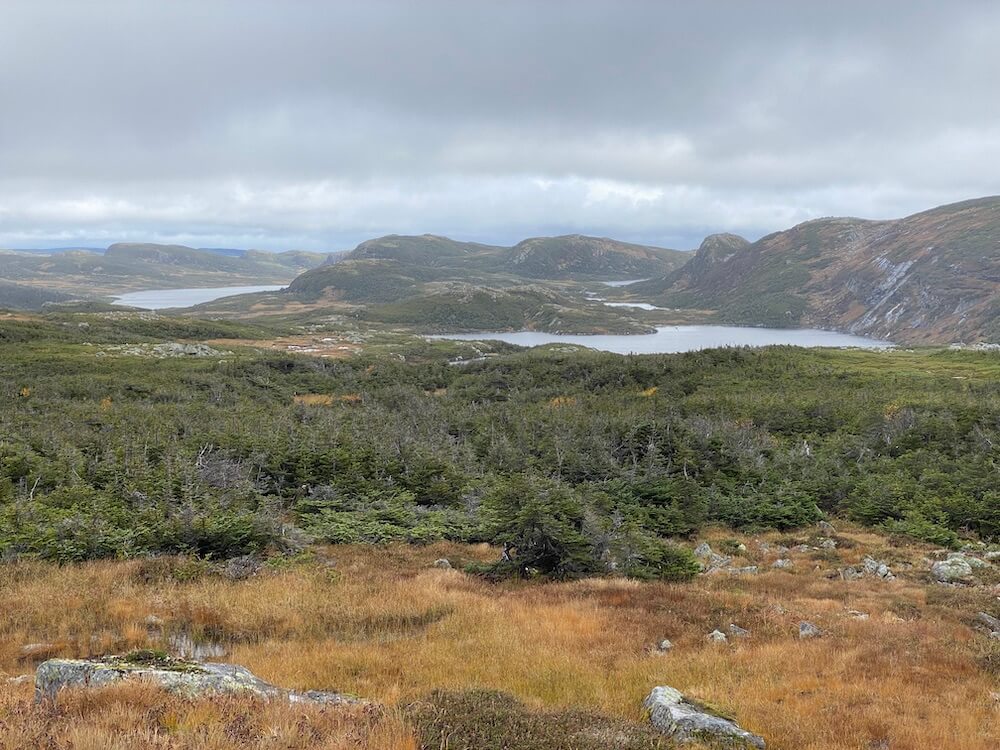
I had a slow climb all day to get into the upper country. It got pretty! It almost looked like the alpine (but it can’t be it at only 480m). It was nice to enjoy the landscape. It was very marsh-like. For most of the way, if I had stepped out of the double track. I would have to sink 1-2 feet into the water. It wasn’t easy to find a campsite by the end of the day, because of the surrounding marsh and strong wind, but I got lucky. I saw the dark clouds in the far landscape. It’s gonna rain a lot overnight.
I had a slow climb all day to get into the upper country. It got pretty! It almost looked like the alpine (but it can’t be it at only 480m). It was nice to enjoy the landscape. It was very marsh-like. For most of the way, if I had stepped out of the double track. I would have to sink 1-2 feet into the water. It wasn’t easy to find a campsite by the end of the day, because of the surrounding marsh and strong wind, but I got lucky. I saw the dark clouds in the far landscape. It’s gonna rain a lot overnight.
Day 23 ~ Distance: 51km, Climb: 40m, Cumulative: 875km
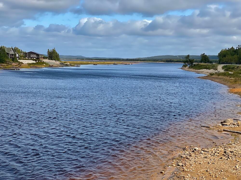
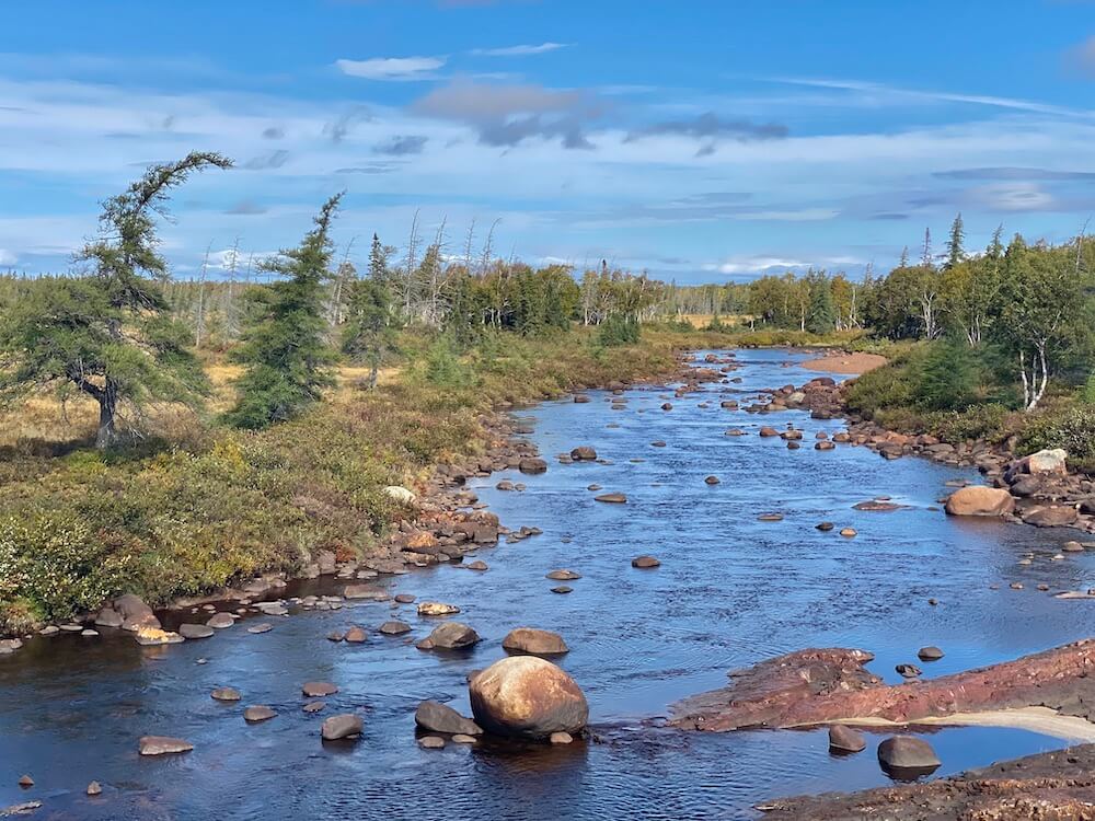
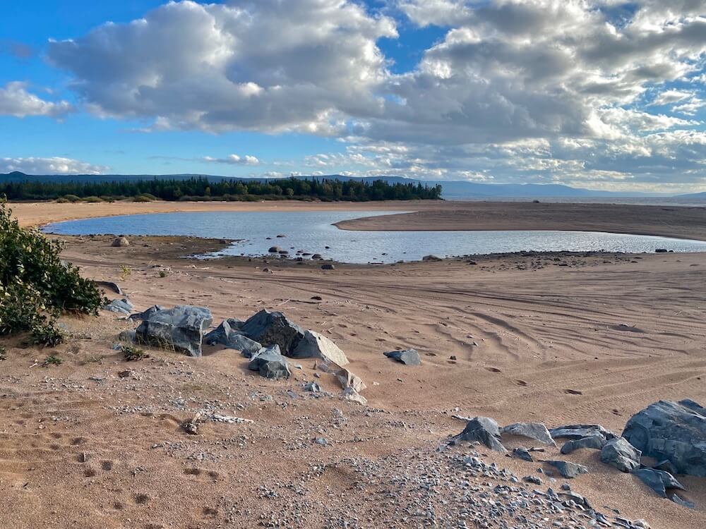
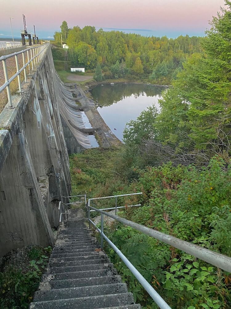
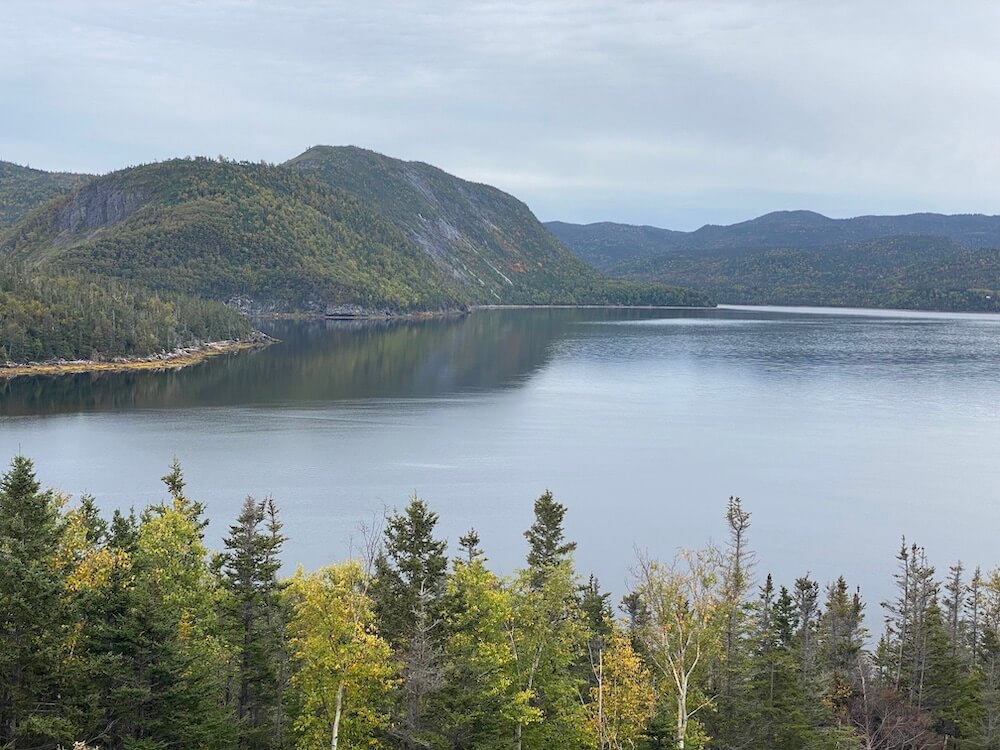
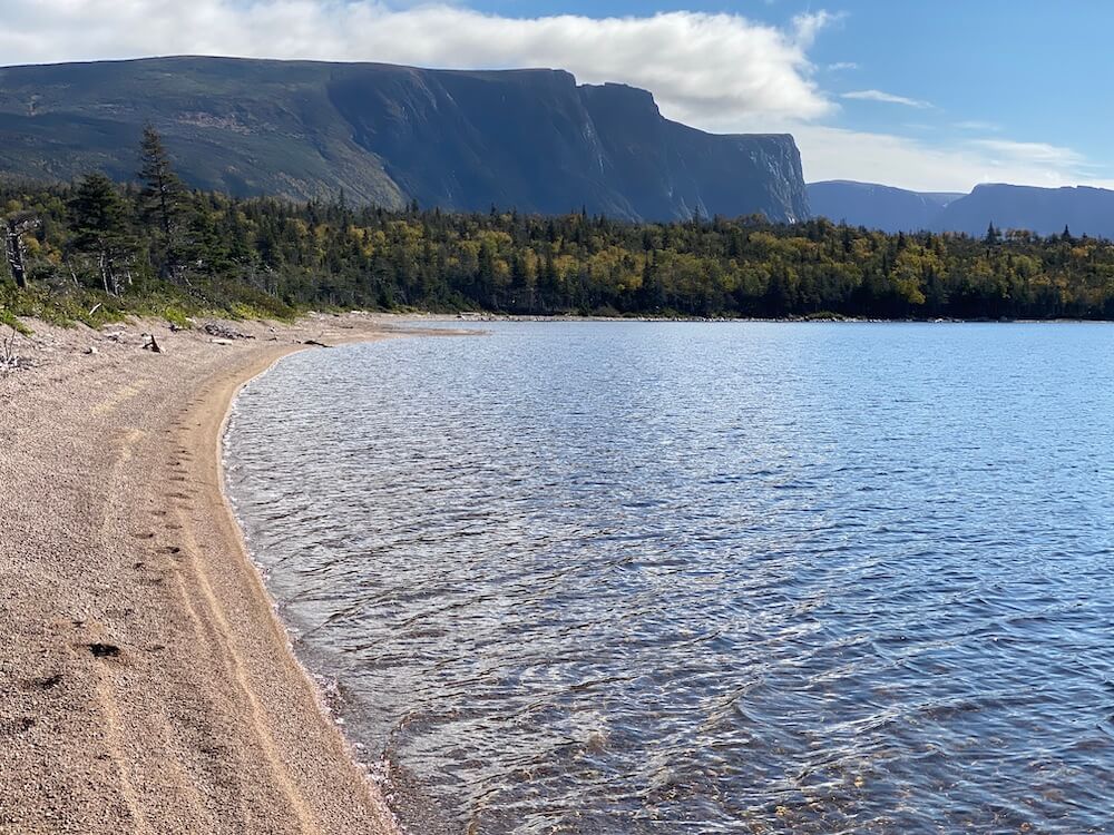
Yesterday was such a nice quiet night. Well, until the rain hit. It down-poured all night and was still pretty intense in the morning. It got better as the day went by. The day started with a slow 400m descent towards the small town of Howley. On the way down, I met two hikers that were doing the full T'Railway. I stopped to chat with them and recommended them the East Coast Trail. They were the first and only hikers I saw on this trip doing a thru-hike. It was a nice chat. In Howley, I stopped at the small convenience store to buy a jus. I still had enough food to push to Deer Lake. Just outside of Howley, the landscape was pretty. Lots of long sandy beaches overlooking Grand Lake. I camped close to a dam.
Yesterday was such a nice quiet night. Well, until the rain hit. It down-poured all night and was still pretty intense in the morning. It got better as the day went by. The day started with a slow 400m descent towards the small town of Howley. On the way down, I met two hikers that were doing the full T'Railway. I stopped to chat with them and recommended them the East Coast Trail. They were the first and only hikers I saw on this trip doing a thru-hike. It was a nice chat. In Howley, I stopped at the small convenience store to buy a jus. I still had enough food to push to Deer Lake. Just outside of Howley, the landscape was pretty. Lots of long sandy beaches overlooking Grand Lake. I camped close to a dam.
Day 24 ~ Distance: 47km, Climb: 420m, Cumulative: 922km
I started by making my way into Deer Lake, where I resupplied and ate some warm food. I had to say goodbye to the T’Railway. This was where I left this double track to head towards Gros Morne. I walked about half on ATV roads and the other half along the highway. Today was the fourth time that I set my alarm 10min later. The days are getting shorter. The campsite tonight is probably the worst I had on this trip. There are only about 100m of forest between me and the highway. I will hear cars until late.
I started by making my way into Deer Lake, where I resupplied and ate some warm food. I had to say goodbye to the T’Railway. This was where I left this double track to head towards Gros Morne. I walked about half on ATV roads and the other half along the highway. Today was the fourth time that I set my alarm 10min later. The days are getting shorter. The campsite tonight is probably the worst I had on this trip. There are only about 100m of forest between me and the highway. I will hear cars until late.
Day 25 ~ Distance: 38km, Climb: 400m, Cumulative: 960km
For most of the day, I was walking along the highway. When I arrived at the visitor center (where I will get my permit for the traverse of the National Park), it was relocated 5-6km away. I decided to figure out that part tomorrow since it was already late. I walked to a close-by campground and set up camp in the rain. It rained all night.
For most of the day, I was walking along the highway. When I arrived at the visitor center (where I will get my permit for the traverse of the National Park), it was relocated 5-6km away. I decided to figure out that part tomorrow since it was already late. I walked to a close-by campground and set up camp in the rain. It rained all night.
Day 26 ~ Rest Day
When I woke up, I walked 6km to the new location of the visitor centre. Unfortunately, it was a temporary location until the new visitor centre is built. I had to go elsewhere for my permit and orientation, and that administration building was closed due to a holiday. I guess I will do all that tomorrow then. I stopped at a convenience store on my way back to buy some food.
*Special thanks to Robert for giving me a ride back at my campground from the convenience store. It saved me 1h of walking.
Day 27 ~ Rest day
Even if today was a rest day, I walked about 15km. I first went to a small grocery store in Rocky Harbour. To buy some food for the next 2 days. Then I went to try to get my permit. I just had to prove that I was prepared for cold nights since they usually don't give permits this time of the year. I also had my orientation for the trail. Since it’s a backcountry route, it was mandatory. The good news is there won’t be any other hiker on the trail. I will have the entire park and trail to myself! This will be such a treat! I’m leaving after tomorrow.
Even if today was a rest day, I walked about 15km. I first went to a small grocery store in Rocky Harbour. To buy some food for the next 2 days. Then I went to try to get my permit. I just had to prove that I was prepared for cold nights since they usually don't give permits this time of the year. I also had my orientation for the trail. Since it’s a backcountry route, it was mandatory. The good news is there won’t be any other hiker on the trail. I will have the entire park and trail to myself! This will be such a treat! I’m leaving after tomorrow.
Day 28 ~ Rest Day
Today was a true rest day. I only had to do laundry. I chilled the whole day. I am getting excited about my hike. I hope the weather will be fine enough to be able to enjoy the nice views. On the East Coast Trail, I had my most challenging day, elevation-wise. This trip across the park will be the most challenging trail-wise. To give you an idea, Park Canada provides a free beacon SOS device to all hiking groups that attempt this traverse (it's the first time I see that), and many rescues happen every year.
Today was a true rest day. I only had to do laundry. I chilled the whole day. I am getting excited about my hike. I hope the weather will be fine enough to be able to enjoy the nice views. On the East Coast Trail, I had my most challenging day, elevation-wise. This trip across the park will be the most challenging trail-wise. To give you an idea, Park Canada provides a free beacon SOS device to all hiking groups that attempt this traverse (it's the first time I see that), and many rescues happen every year.
Day 29 ~ Distance: 31km, Climb: 1450m, Cumulative: 991km
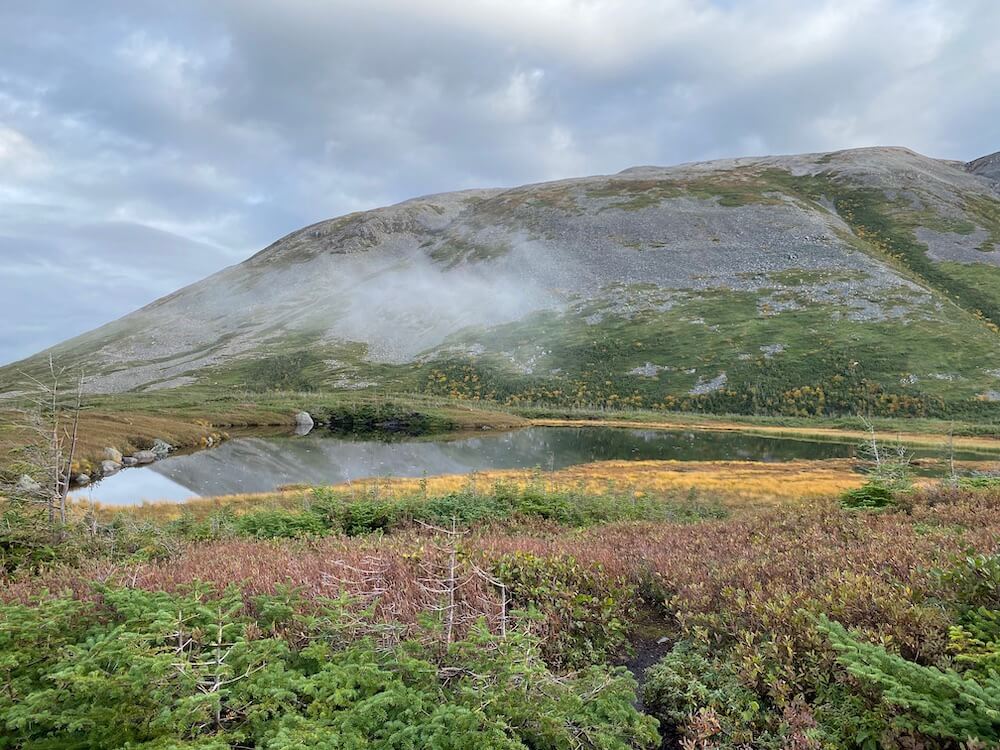
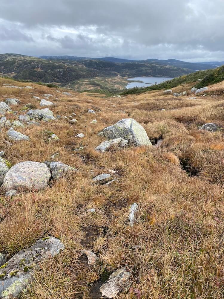
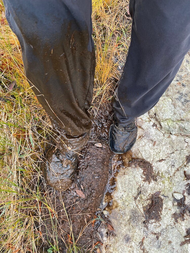
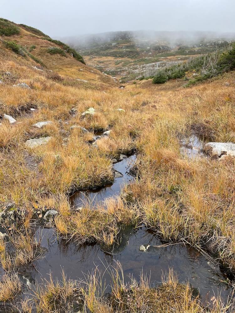
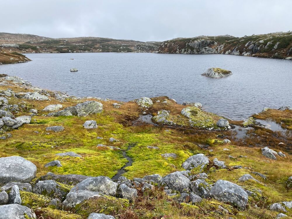
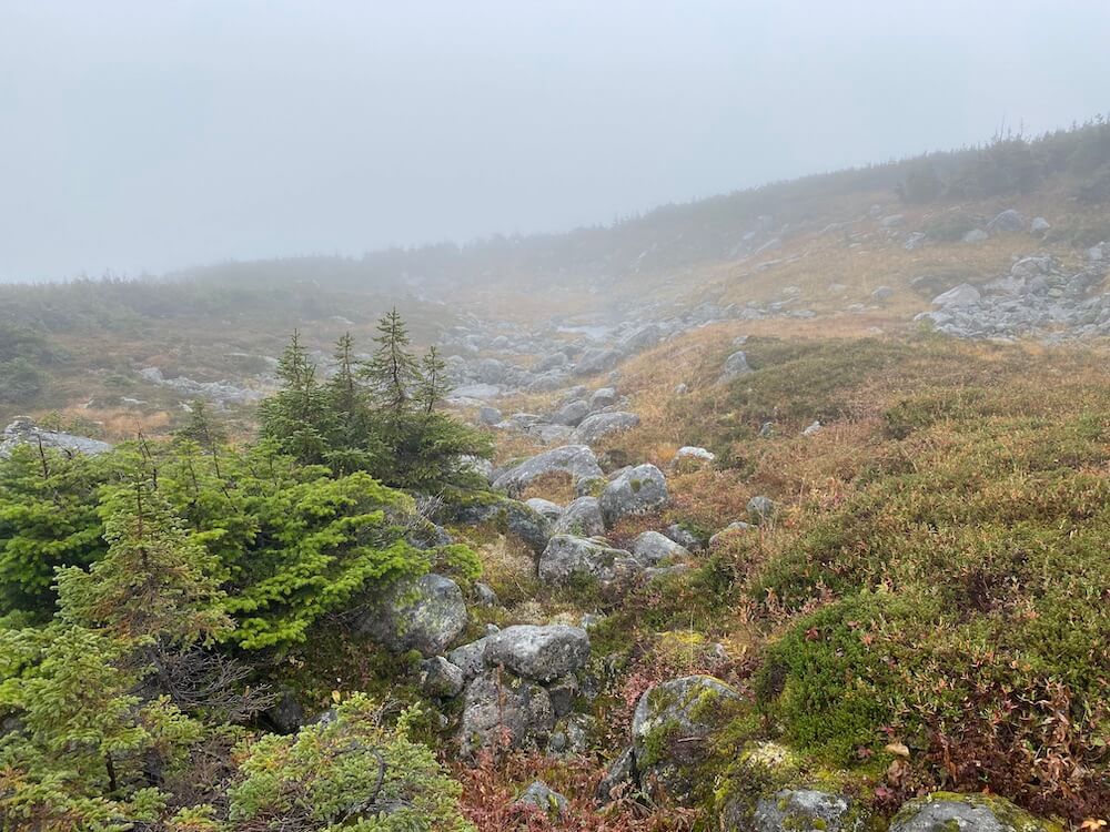
Started the day with a 6km walk to the trailhead from my campground. Then, the day really started with an 800m climb to the highest point on my trip (Mount Gros-Morne, 806m). I managed to have some nice views before the cloud rolled in. Shortly after that climb, I left the maintained trail heading into my backcountry route. The route was easy navigation about 90% of the time. There were just a few places where I had to really pay attention. The hardest part of the trail is how slippery it is. After 4 days of rain with a marshy landscape. It makes the trail extremely wet, muddy, and slick. My hiking poles combined with some reflex save me countless times from a muddy ass-landing. Literally dozens of times I had one leg kicking the sky. It is also the treading of my trail runners that are all worn out. 2 times I wasn’t able to save myself from a splashy landing. I laugh it off. I wish I could have filmed them, I’m sure a soccer club would have hired me for my spectacular bicycle kicks. The clouds and fog stayed most of the day with a decent amount of drizzle. I camped close to a lake.
Started the day with a 6km walk to the trailhead from my campground. Then, the day really started with an 800m climb to the highest point on my trip (Mount Gros-Morne, 806m). I managed to have some nice views before the cloud rolled in. Shortly after that climb, I left the maintained trail heading into my backcountry route. The route was easy navigation about 90% of the time. There were just a few places where I had to really pay attention. The hardest part of the trail is how slippery it is. After 4 days of rain with a marshy landscape. It makes the trail extremely wet, muddy, and slick. My hiking poles combined with some reflex save me countless times from a muddy ass-landing. Literally dozens of times I had one leg kicking the sky. It is also the treading of my trail runners that are all worn out. 2 times I wasn’t able to save myself from a splashy landing. I laugh it off. I wish I could have filmed them, I’m sure a soccer club would have hired me for my spectacular bicycle kicks. The clouds and fog stayed most of the day with a decent amount of drizzle. I camped close to a lake.
Day 30 ~ Distance: 16km, Climb: 600m, Cumulative: 1007km
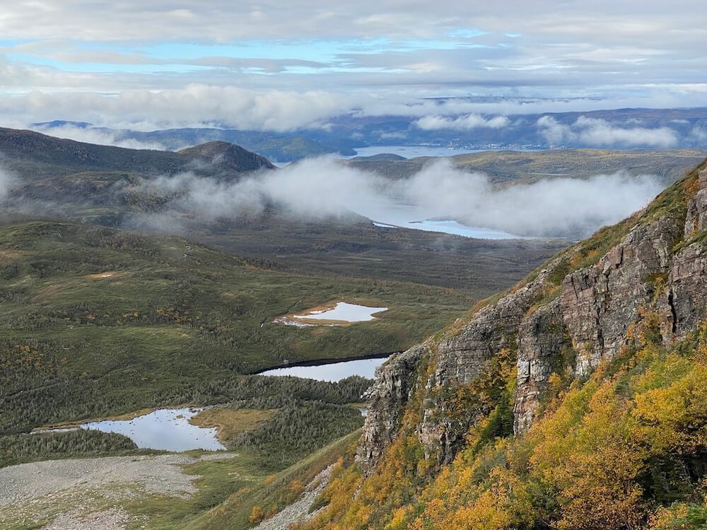
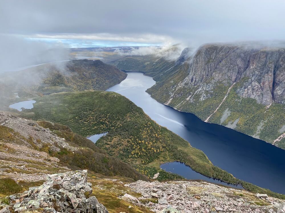
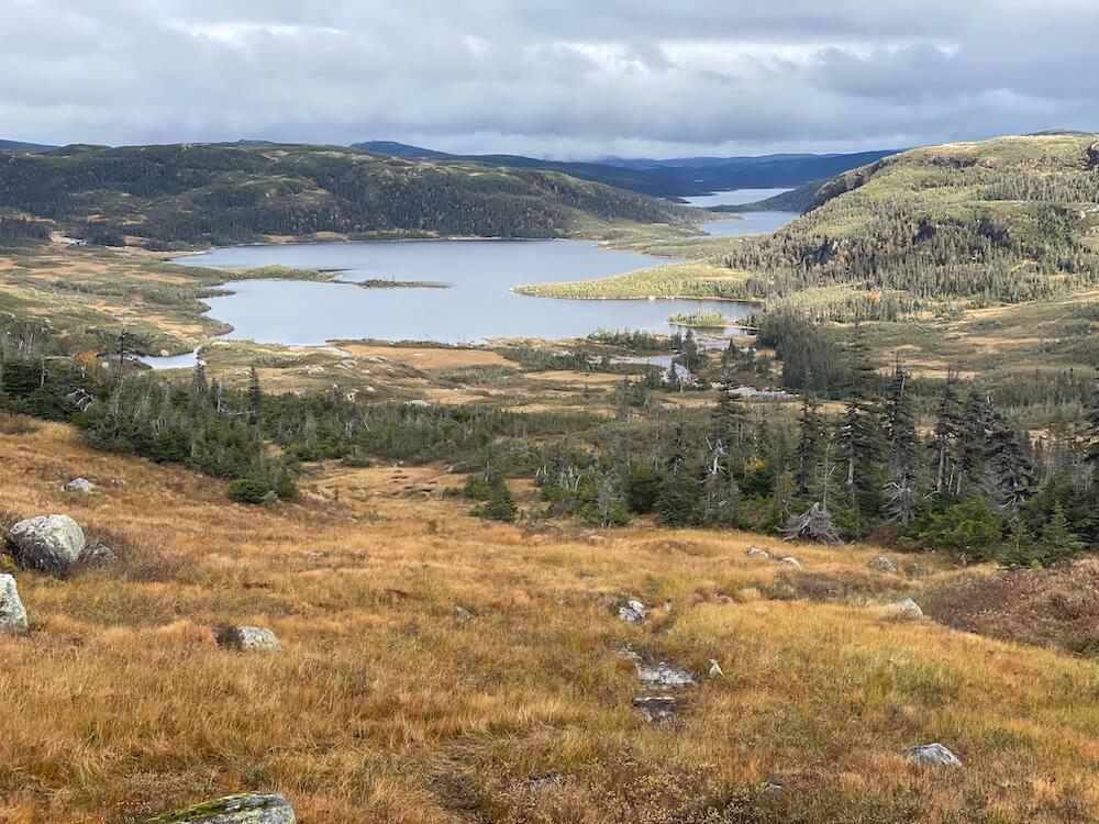
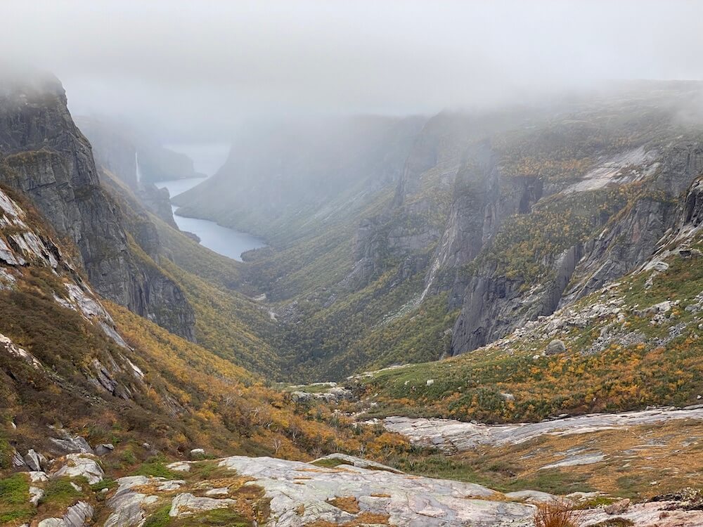
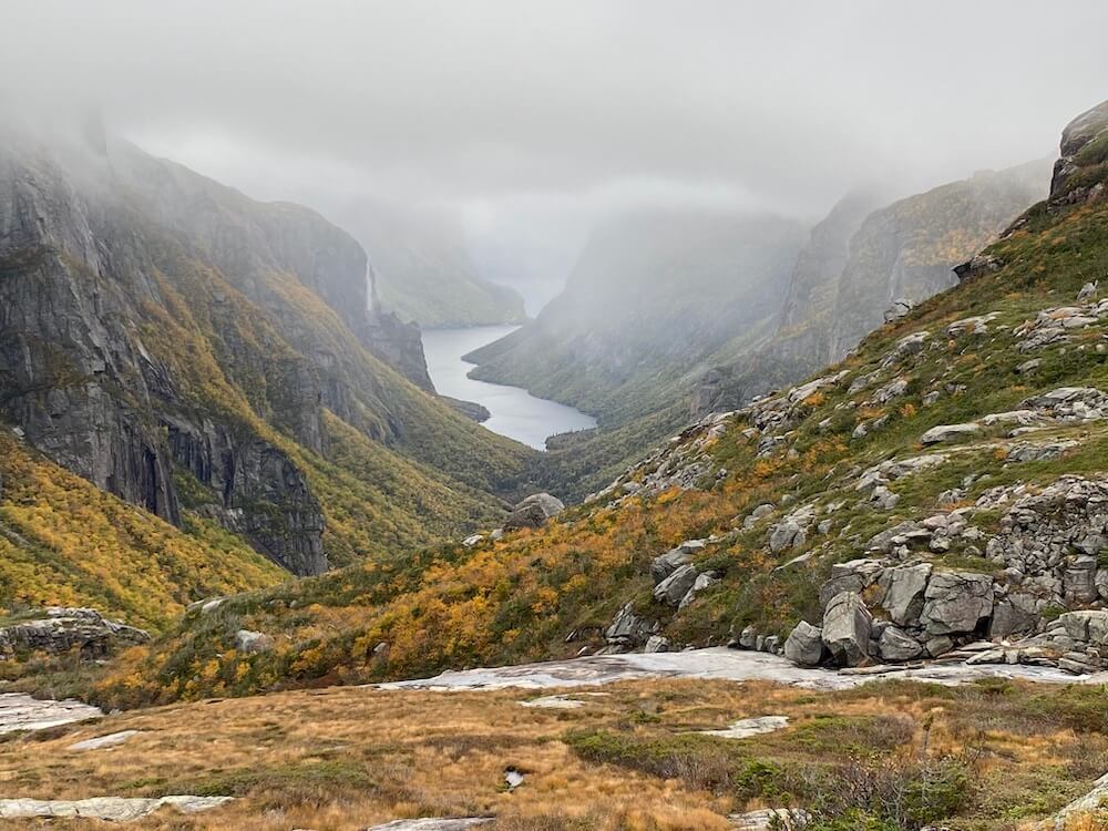
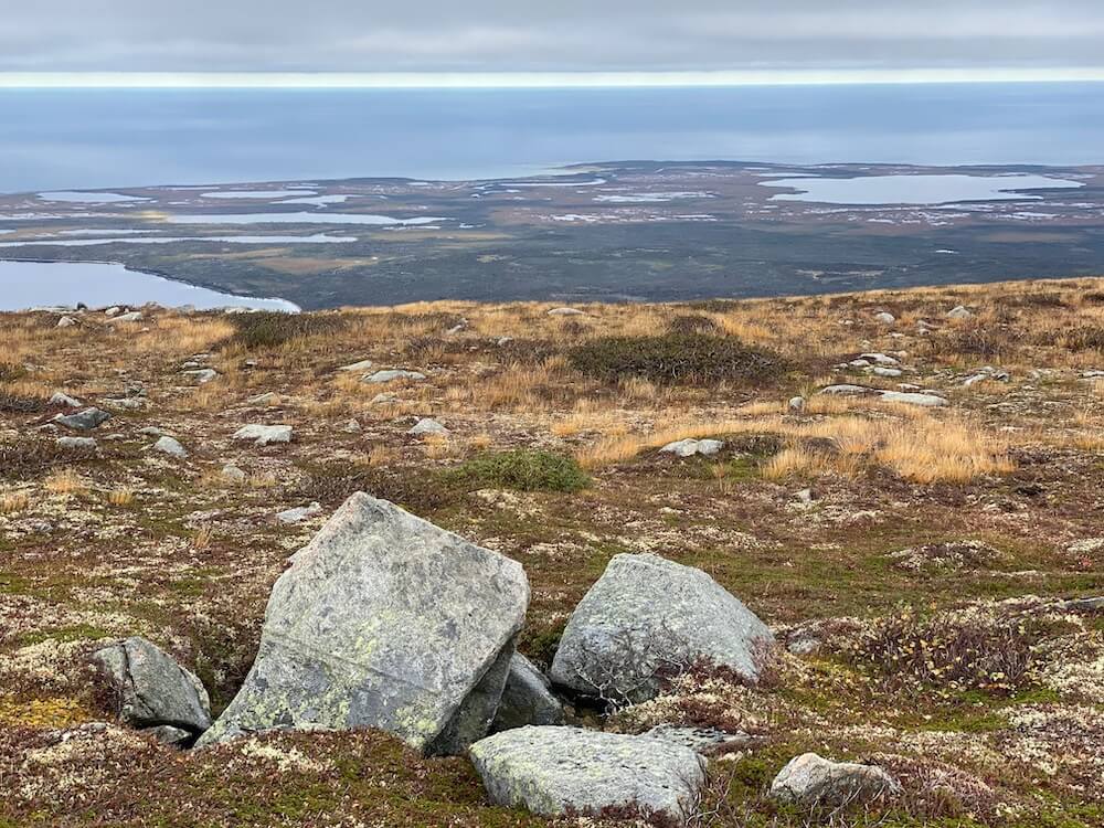
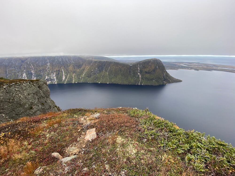
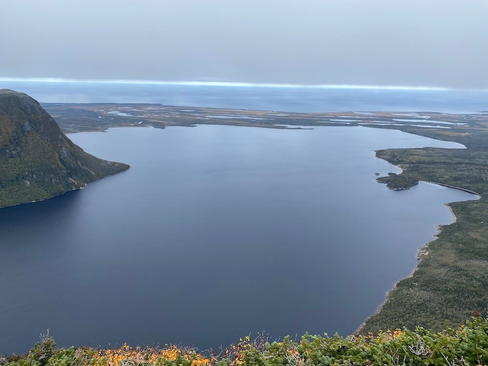
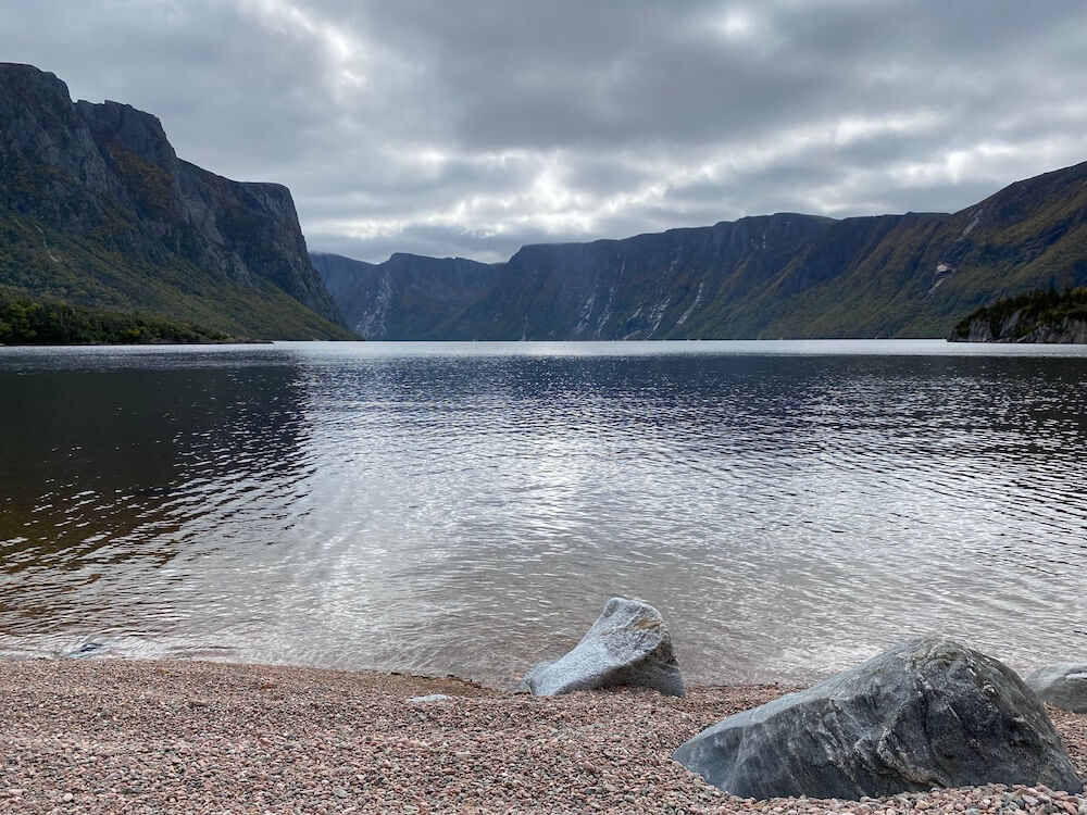
I kept my wet socks in a plastic bag inside my sleeping bag (to minimize the torture in the morning). The morning was chilly. The temperature was close to freezing. I got moving quickly to warm up. 6km later, I arrived at THE view point. The one I was most excited about on this trip. The clouds were low, but I was still able to have a glimpse at the view. This is where the « long traverse » ends and the more difficult « northern traverse » starts. I could clearly see a difference between the two trails. This new one requires a lot more navigation with some occasional bushwalking. The morning clouds turned into drizzle, which turned into rain in the afternoon, and then into snowflakes in the evening. At this point, it has been over a week that I had some rain every day. I camped by early afternoon. I’m starting to slow down. Yes, partly because the trail is harder, but mostly because I don’t want my trip to end. Tomorrow should be my last day, except if I find another excuse to camp early.
I kept my wet socks in a plastic bag inside my sleeping bag (to minimize the torture in the morning). The morning was chilly. The temperature was close to freezing. I got moving quickly to warm up. 6km later, I arrived at THE view point. The one I was most excited about on this trip. The clouds were low, but I was still able to have a glimpse at the view. This is where the « long traverse » ends and the more difficult « northern traverse » starts. I could clearly see a difference between the two trails. This new one requires a lot more navigation with some occasional bushwalking. The morning clouds turned into drizzle, which turned into rain in the afternoon, and then into snowflakes in the evening. At this point, it has been over a week that I had some rain every day. I camped by early afternoon. I’m starting to slow down. Yes, partly because the trail is harder, but mostly because I don’t want my trip to end. Tomorrow should be my last day, except if I find another excuse to camp early.
Day 31 ~ Distance: 19km, Climb: 100m, Cumulative: 1026km
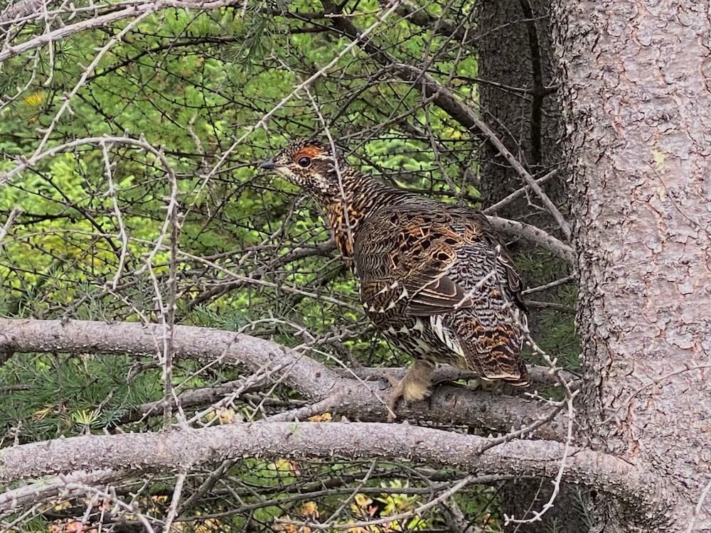
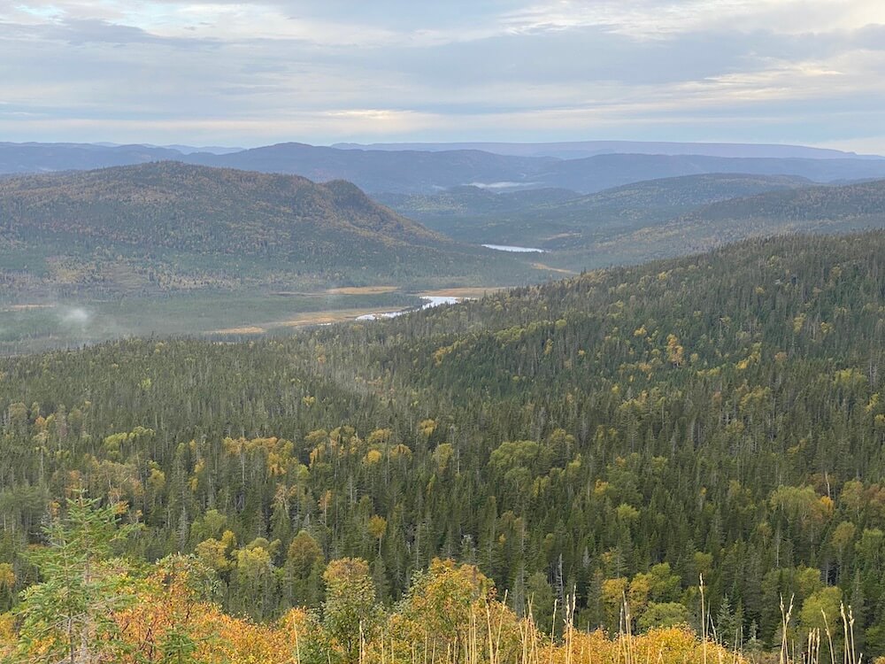
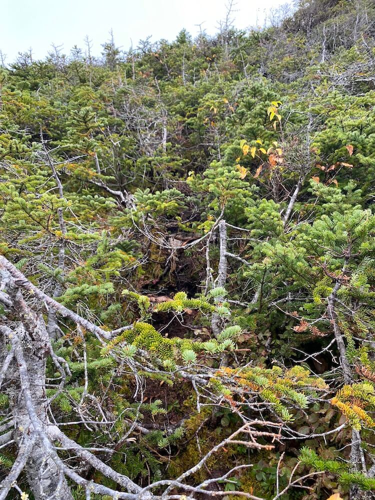
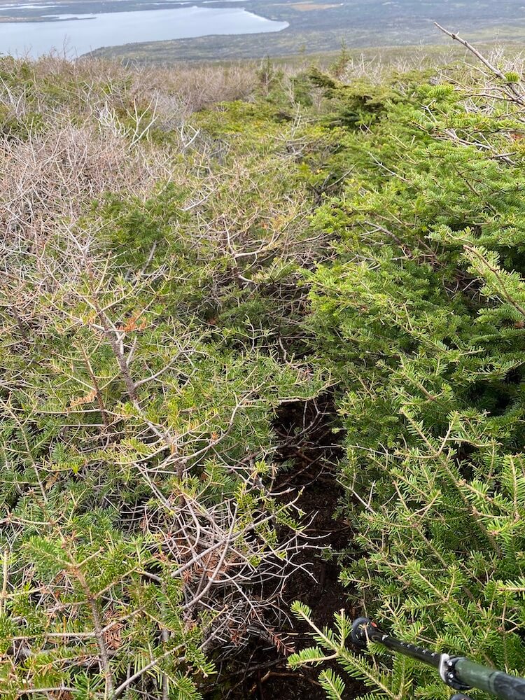
The night was cold, the wind picked up and it was probably somewhere between -2C to -5C. This morning my shoes were stiff because they were completely soaked and froze overnight. I put a second layer of socks inside my shoe. That should help keep my feet warm. I packed up quickly and got moving. The first 6km were supposed to be the hardest section. It’s called the Tuckamore Tangle. Multiple people got lost and needed rescue in that section. Ironically, I found this section to be easier than yesterday. It must have been the dark chocolate that I had for breakfast. The clouds were high enough for me to make a side trip to an optional viewpoint. The view was beautiful. I was also lucky and sighted a black bear. I now see clearly the sea, where my adventure ends. I made my way down the mountains. It got much warmer as I descended to a point where I was in my baselayer. I had one last obstacle before reaching my finishing line; a river. Luckily the river was low (just below my hips). On the other side, I saw the first people over the last 3 days. On my last few kilometres I reminded myself to all the people that were kind to me on this trip, the crazy hurricane I had run from, those beautiful peaceful views of the coast. The small communities I went through on the T’Railway, and the beautiful wilderness of this national park.
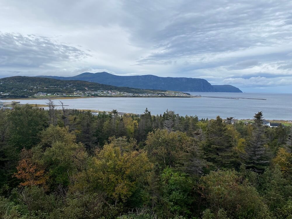
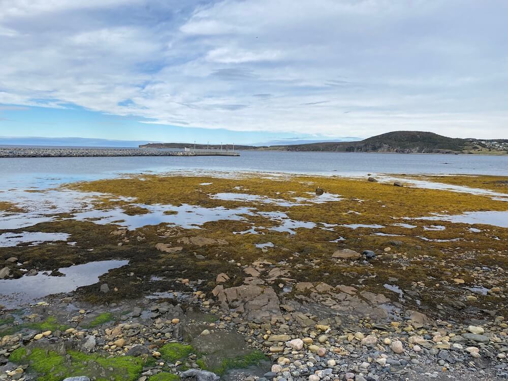
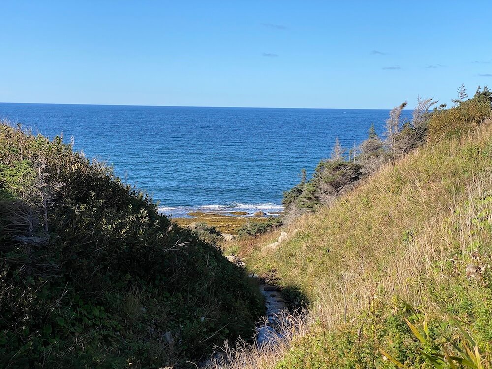
Once I made it to my finish line. I sat close to the sea and took a moment to sink this month-long adventure in. What do I see coming out of the water in the far back? Whales! There must have been 2 of them. As much as Mother Nature can have a sense of humour (like clearing up the sky, now that I’m finally done with my trip), as much she keeps mesmerizing me. Those whales felt like her way of telling me farewell and see you later…
|
If you want to help me out.
Support this website |
Any questions or comments?
Contact me |
Treks Travels Thoughts is uncopyrighted
